Mannar-Strand
Der Mannar Beach, der an der Nordwestküste von Sri Lanka liegt, ist bekannt für seine unberührte Schönheit, die weiten Sandstrände und die ruhige Atmosphäre. Dieser Strand bietet ein einzigartiges und abgelegenes Küstenerlebnis, ideal für Reisende, die den überfüllten Touristenzielen entkommen und sich in der natürlichen Schönheit vertiefen möchten.
Abgelegen und ruhig
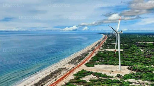
Der Mannar Beach zeichnet sich durch lange Abschnitte unberührten goldenen Sandes und klares, ruhiges Wasser aus. Die abgelegene Lage des Strandes sorgt für eine friedliche Atmosphäre, die perfekt für diejenigen ist, die Einsamkeit und Entspannung abseits der geschäftigen Touristengebiete suchen.
Fischen und lokale Kultur
Fischen ist ein integraler Bestandteil des Lebens in Mannar, und Besucher können lokale Fischer bei der Arbeit mit traditionellen Methoden beobachten. Die Gegend ist reich an lokaler Kultur und bietet Gelegenheiten, das tägliche Leben und die Bräuche der Küstengemeinden zu erleben.
Historische und kulturelle Sehenswürdigkeiten
In der nahegelegenen Stadt Mannar gibt es mehrere historische und kulturelle Sehenswürdigkeiten:
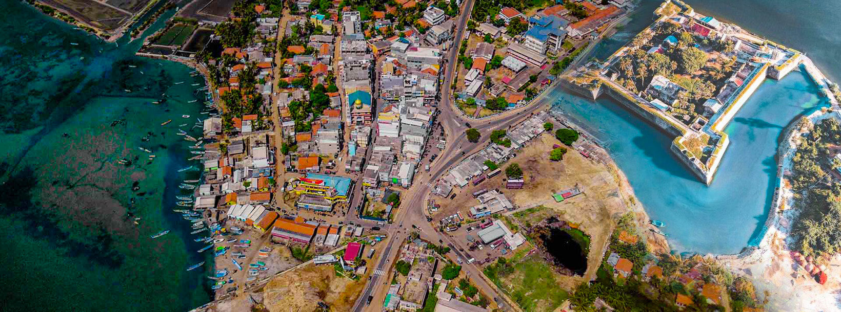
- Mannar Fort: Im 17. Jahrhundert von den Portugiesen erbaut und später von den Niederländern erweitert, bietet dieses Fort Einblicke in die koloniale Vergangenheit der Region und bietet Panoramablicke auf das umliegende Gebiet.
- Baobab-Baum: Ein ungewöhnlicher und beeindruckender Baobab-Baum im Mannar-Gebiet, der einer der wenigen seiner Art in Sri Lanka ist. Dieser Baum ist zu einem lokalen Wahrzeichen geworden und bietet eine einzigartige Fotogelegenheit.
- Adam’s Bridge (Rama’s Bridge): Obwohl er nicht direkt am Strand liegt, ist die nahegelegene Adam’s Bridge ein historisches Interessensgebiet, das als eine Kette von Kalksteinhindernissen gilt, die einst Sri Lanka mit Indien verbanden.
Wildtiere und Vogelbeobachtung
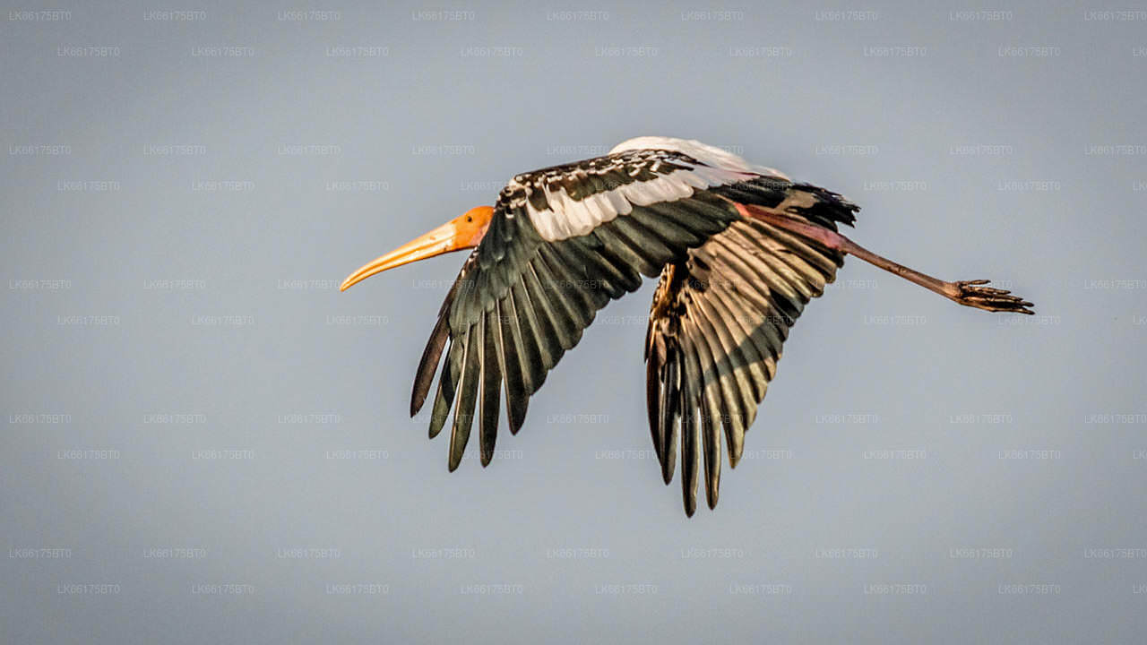
Die Region rund um den Mannar Beach ist bekannt für ihre vielfältige Vogelwelt. Vogelbeobachter können eine Vielzahl von Arten beobachten, darunter Zugvögel, die das Gebiet zu bestimmten Jahreszeiten besuchen. Die nahegelegene Mannar Island ist ebenfalls bekannt für ihre Wildtiere und natürliche Schönheit.
Lokale Küche
In Mannar können Besucher traditionelle sri-lankische Küche mit Schwerpunkt auf frischen Meeresfrüchten genießen. Lokale Gerichte wie Fischcurry, Krabbencurry und Garnelengerichte sind in den lokalen Restaurants weit verbreitet und bieten einen Geschmack des kulinarischen Erbes der Region.
Unterkunft
Die Unterkunftsmöglichkeiten in Mannar sind im Vergleich zu den entwickelteren Touristengebieten relativ bescheiden. Besucher können eine Reihe von Gästehäusern und kleinen Hotels finden, die grundlegende Annehmlichkeiten und einen komfortablen Aufenthalt bieten. Viele dieser Unterkünfte bieten einfachen Zugang zum Strand und zu lokalen Sehenswürdigkeiten.
Beste Reisezeit:
Die beste Zeit, um den Mannar Beach zu besuchen, ist von November bis April, wenn das Wetter trocken und sonnig ist, was ideale Bedingungen für Strandaktivitäten und die Erkundung der Umgebung bietet. Die Monsunzeit beginnt normalerweise im Mai, was Regen und rauere Seezustände mit sich bringt.