Koggala Lagoon


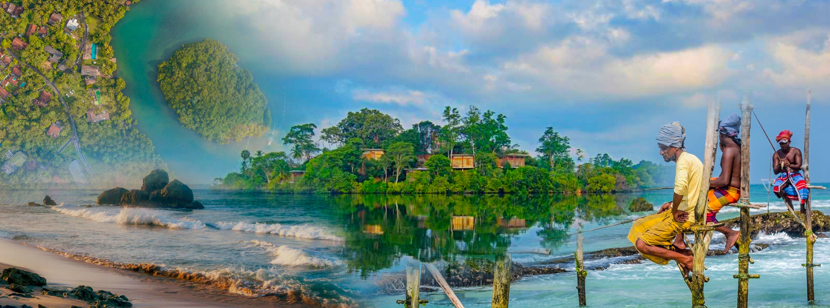
Koggala Lagoon (Sinhala: ?????? ????? Koggala Kalapuwa) is a coastal waterbody located in Galle District, Southern Sri Lanka. It is situated near the town of Koggala and adjacent to the southern coast, about 110 km (68 mi) south of Colombo. The lagoon is embellished with eight ecologically rich small islands.
Features and location
The lagoon has a surface area of approximately 7.27 km2 (2.81 sq mi) measuring 4.8 kilometres (3.0 mi) in length and 2 kilometres (1.2 mi) in width. The water depth ranges from 1.0 metre (3.3 ft) to 3.7 metres (12 ft). The lagoon is largely rain fed and a number of streams are connected to it. Warabokka-ela stream (Koggala-oya) that enters the lagoon from the north-west is the main freshwater supply. Kerena anicut, which was constructed combining two streams, Mudiyansege-ela stream and Thithagalla-ela stream, is the second largest freshwater inflow. Heen-ela stream contributes a minor to the freshwater inflow. In addition to above four streams, Kahanda-ela stream, Gurukanda-ela stream and Thelambu-ela stream are also contributors for freshwater inflows but are presently abandoned with overgrown vegetation. The only outlet of the lagoon is Pol-oya located at the southeast corner; a narrow 300 metres (980 ft) long canal, which connects the lagoon with the Indian Ocean. The lagoon has a hydro-catchment area of approximately 55 km2 (21 sq mi).2 Various land use practices exist in the catchment, which mainly includes small-scale fishing industry and paddy farming. The Koggala Export Processing Zone (KEPZ), is an industrial area with a surface area of 91 ha (220 acres) located within the catchment area of the lagoon.
Tourism
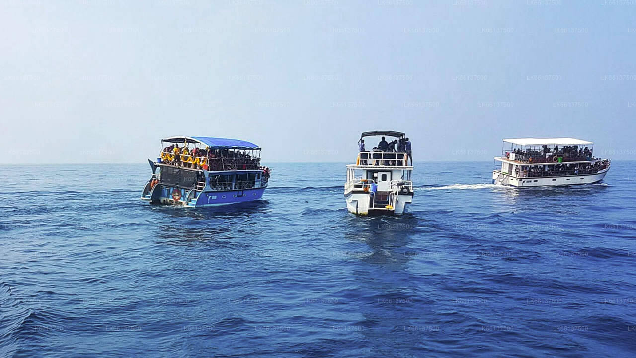
The Koggala Lagoon is one of the main features for tourists who visit southern coastal areas in Sri Lanka with rich bio diversities and eco systems. The Lagoon is scattered with eight small islands. The islands consist of lush mangrove swamps. Anchored in mud, the mangrove roots are coated with a variety of creatures, including barnacles, oysters and crabs. The dense, intertwining roots serve as nurseries for many fish species. There are seven islands in the lagoon, that can be reached by boat. The most famous of the islands is ‘Madol Doova' (Mangrove Island Sinhala: ????? ???)’, which is described in detail by Martin Wickramasinghe in his novel, Madol Doova. Motor boats are available to hire to travel across the lagoon. Tourists can witness the varying species of Mangrove, about ten of which are endemic to Sri Lanka. Wildlife of these islands inherited to a wide variety of flora and fauna, like monitor lizards and a number of birds. In addition to wildlife and the scenery, Kathaluwa Buddhist Temple (Kathaluwa Purvarama Maha Vihara) is one of the main tourist attractions in the lagoon with Kandyan-style paint