Parakrama Samudra — literally "the sea of Parakrama" — is one of the most remarkable feats of hydraulic engineering in the ancient world. Constructed in the 12th century by King Parakramabahu I, who ruled from Polonnaruwa from 1153 AD, this vast reservoir system was designed to solve a problem that still challenges Sri Lanka today: how to store water through the long dry months that follow each monsoon season.
Why did King Parakramabahu I build Parakrama Samudra?
Sri Lanka receives the bulk of its rainfall during two monsoon seasons, each lasting roughly three months. The intervening periods are largely dry, with only sporadic overnight thunderstorms offering relief. For a kingdom dependent on irrigated rice cultivation, this pattern created a recurring crisis — plentiful water for part of the year, severe scarcity for the rest.
King Parakramabahu I famously declared that not a single drop of rainwater should reach the sea without first serving the people. Acting on that principle, he directed the construction and expansion of an integrated reservoir network that could collect monsoon water and release it steadily through the dry season, sustaining agriculture across the Polonnaruwa plains.
How was the original reservoir system structured?
The original Parakrama Samudra was not a single body of water but a network of five large reservoirs linked by an intricate system of channels, sluices, and smaller feeder tanks. The five principal reservoirs were:
- Thopa Vewa — the oldest component, dating to around 386 AD, which pre-existed Parakramabahu I's reign and was incorporated into the expanded system
- Eramudu Vewa (also called Katu Vewa)
- Dumbuthula Vewa
- Kalahagala Vewa
- Bhu Vewa
Surrounding these primary tanks were numerous smaller reservoirs that acted as buffers — absorbing overflow from the main system during heavy rains and feeding water back when levels dropped. The entire network functioned as a single, self-regulating hydraulic machine that modern engineers still regard with considerable respect.
What happened to the reservoir during 19th-century reconstructions?
The system suffered significantly during colonial-era repair works in the 19th century. Engineers, unfamiliar with the sophisticated principles behind the ancient design, inadvertently redirected water that had been flowing to Thopa Vewa toward Bhu Vewa, creating a flooding risk that had not existed before. To manage the emergency, a temporary dam was constructed to halt the uncontrolled flow.
That temporary structure was never removed. It became a permanent road, physically severing Kalahagala Vewa and Bhu Vewa from the rest of the network. The three remaining interconnected reservoirs — Thopa Vewa, Eramudu Vewa, and Dumbuthula Vewa — now constitute what most visitors see when they arrive at Parakrama Samudra today. The reconstructions also ignored key elements of the original sluice and channel technology, further reducing the system's storage capacity.
What are the current dimensions of Parakrama Samudra?
Even in its reduced form, the reservoir is an imposing structure. Its key measurements are:
| Measurement | Metric | Imperial |
|---|---|---|
| Length of bund | approximately 14 km | around 8.5 miles |
| Height of dam (outer face) | approximately 12.2 m | around 40 feet |
| Average depth | approximately 7.6 m | around 25 feet |
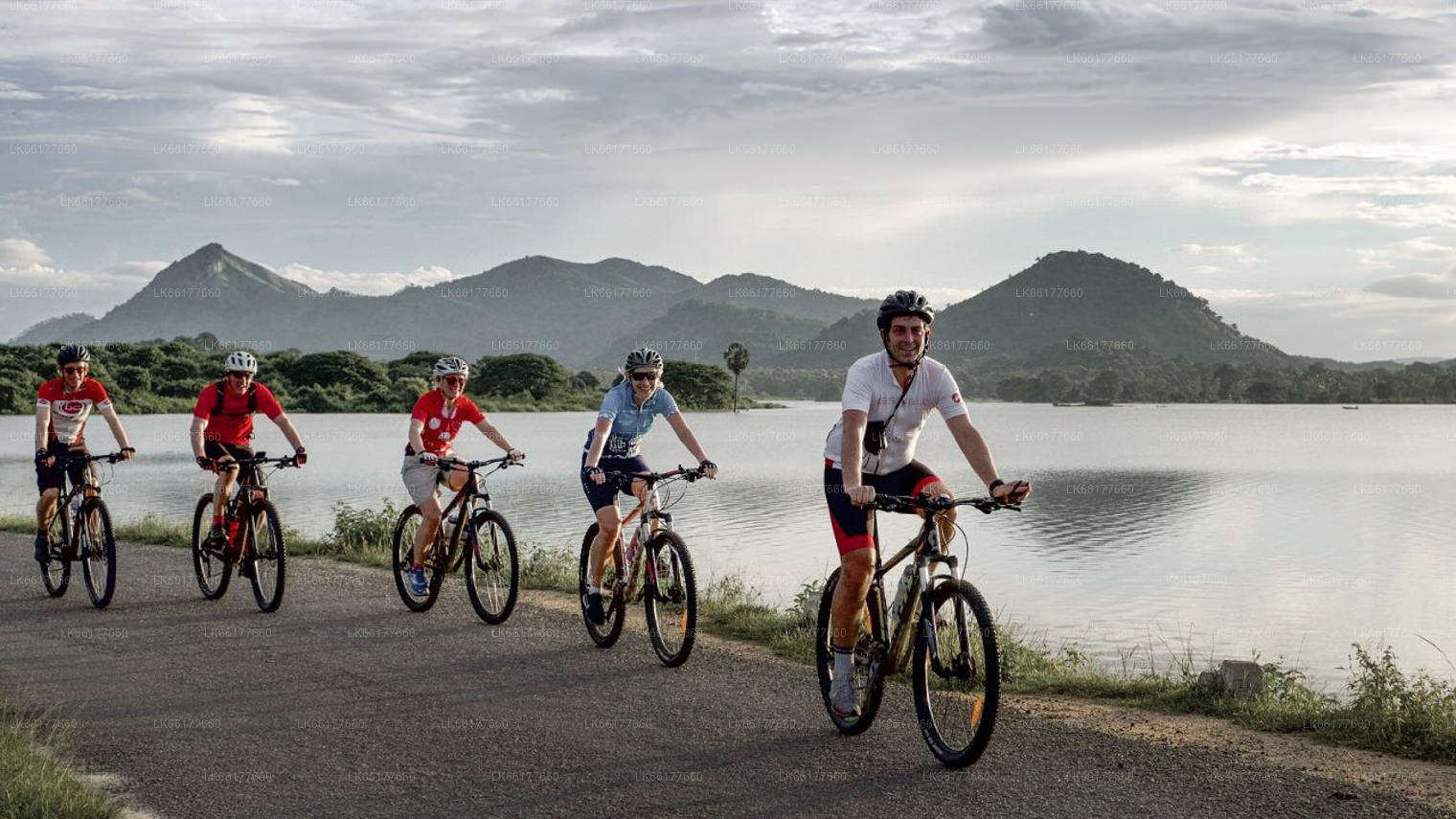
The bund — the earthen embankment that forms the dam wall — stretches along the western edge of Polonnaruwa and is wide enough in places to serve as a road. Walking or cycling along it in the early morning, with the water reflecting the light and birds feeding along the shoreline, is one of the quieter pleasures of visiting the ancient city.
What can visitors see and do at Parakrama Samudra?
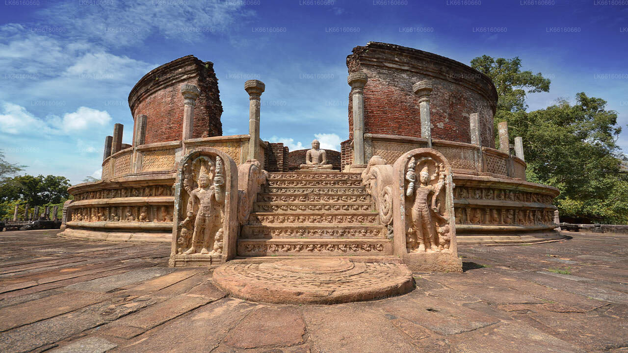
The reservoir sits at the heart of the Polonnaruwa archaeological zone, making it a natural reference point as you move between the ancient city's main monuments. The bund promenade offers unobstructed views across the water toward the ruins, particularly the Audience Hall and the statue of Parakramabahu I (or, according to some scholars, the sage Agastya) carved into a granite outcrop near the southern end of the dam.
Wildlife is a quiet constant here. Painted storks, pelicans, and various herons wade in the shallows at dawn and dusk. The reservoir also attracts monitor lizards and, occasionally, elephants that come to drink at the water's edge — a reminder that the ancient irrigation network once sustained an entire ecological system, not just human agriculture.
Cycling is the most practical way to follow the full length of the bund. Bicycle hire is widely available in Polonnaruwa town, and the flat terrain makes the route manageable even in moderate heat. Starting early — by 6:30 or 7:00 AM — keeps the temperature tolerable and gives you the best light for photography.
How does Parakrama Samudra fit into a broader Polonnaruwa visit?
The reservoir is inseparable from the story of Polonnaruwa itself. The city flourished as Sri Lanka's second great capital precisely because Parakramabahu I solved the water problem at scale, freeing the agricultural surplus needed to fund temples, palaces, and the military campaigns that unified the island. Understanding the reservoir makes the ruins more legible — the wealth embedded in the stone carvings and the scale of the Kiri Vehera Stupa and other monuments becomes easier to interpret once you grasp the economic foundation the water system provided.
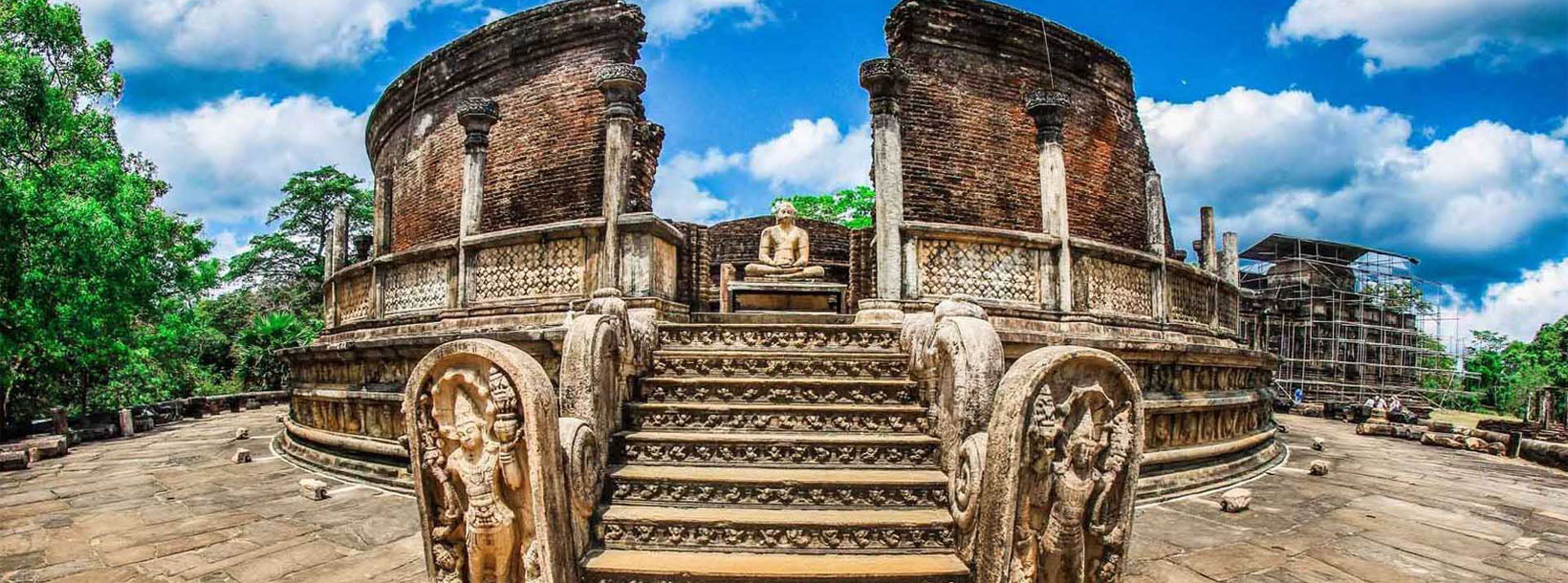
Most visitors combine a reservoir walk with a full day at the Polonnaruwa archaeological site, which encompasses the Royal Palace complex, the Gal Vihara rock temple, the Quadrangle, and various dagobas. A half-day is enough to cover the highlights if time is short, but a full day allows a more unhurried pace.
When is the best time to visit Parakrama Samudra?
The dry season in the North Central Province, roughly from May to September, offers the most comfortable conditions for exploring the site on foot or by bicycle. January and February are also generally dry and relatively cool. The reservoir is at its fullest — and most photogenic — shortly after the northeast monsoon (October to January), when water levels recover and the bund path reflects a full expanse of water.
Avoid midday visits between November and April, when temperatures in the low-country plains regularly exceed 33°C. Early morning visits reward patience with wildlife sightings and softer light on the surrounding ruins.
How do I get to Parakrama Samudra from Colombo?
Polonnaruwa lies roughly 230 km north-east of Colombo. By road, the journey typically takes between four and five hours depending on traffic and the route taken. Train services run from Colombo Fort to Polonnaruwa via Gal Oya junction, with the journey taking around six to seven hours; this is a scenic and affordable option but slower than driving. Once in Polonnaruwa town, the reservoir bund is accessible by bicycle, tuk-tuk, or on foot from most guesthouses.