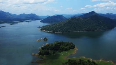
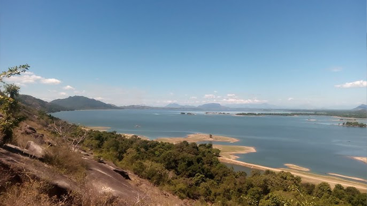
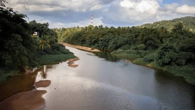
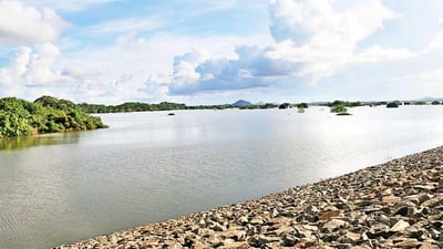
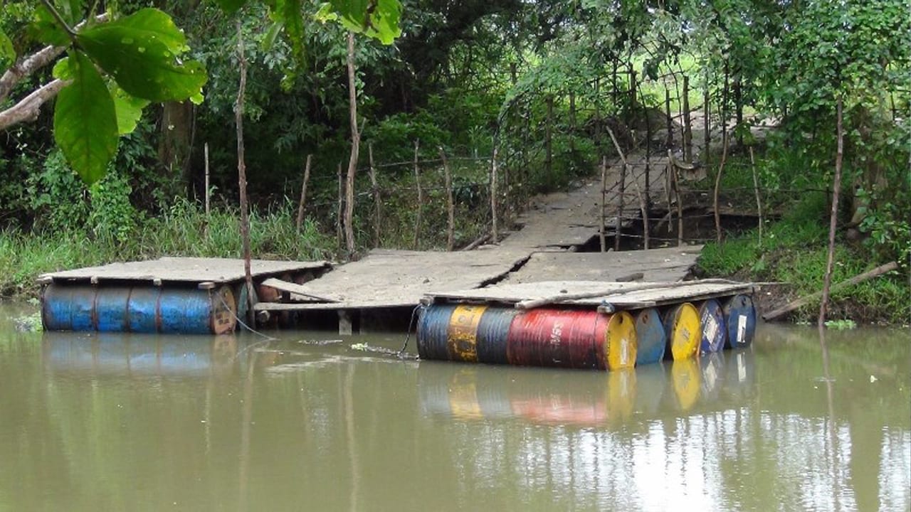
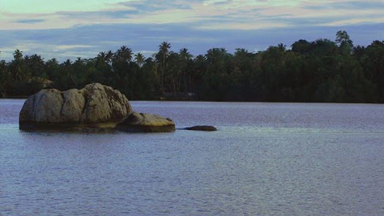
Mi Oya is a significant river that flows through Sri Lanka's North Western Province, originating from the central hills and winding through the dry zone before reaching the Puttalam Lagoon. The river's course, through arid landscapes and agricultural areas, makes it an essential resource for both rural communities and wildlife. Its waters are relied upon for irrigation, domestic use, and supporting local ecosystems along its journey.
The river is crucial for sustaining agriculture in the dry zone. It feeds several irrigation systems and reservoirs, enabling farmers in regions like Puttalam and Kurunegala to grow crops, including rice and vegetables, during the dry season. The river's water is a lifeline for farmers, livestock keepers, and small-scale industries in the region, supporting the local economy and ensuring food security for many rural communities.
Ecologically, Mi Oya supports several important ecosystems. The riverbanks and surrounding wetlands provide a habitat for a range of plant and animal species, including migratory birds, freshwater fish, and reptiles. The river's estuary near Puttalam further supports coastal ecosystems, including mangrove forests and saltwater marshes, making it an important site for biodiversity conservation and eco-tourism activities.
Culturally, Mi Oya has long been a part of the daily lives of the people living along its banks. The river has supported agricultural activities for centuries, and its waters are integral to the livelihoods of people in the region. The river continues to be a vital resource for rural communities in Puttalam, Kurunegala, and surrounding areas, providing water for farming, domestic use, and small-scale industries.
Flood Risk & Hydrological Importance
While Mi Oya is essential for agriculture and water supply, it is also susceptible to flooding, especially during periods of heavy rainfall in its upper catchment areas. Understanding the river's flood risk is important for managing water resources and protecting communities, agriculture, and ecosystems along its course.
- No Official Readings in Current Report: Mi Oya is not listed in the available hydrology data, so no numerical water-level values or flood classifications are currently recorded for this river.
- Catchment Sensitivity: The upper catchment area in the central hills can experience rapid runoff during heavy rainfall, causing swift increases in water levels downstream in the river.
- Flood-Prone Areas: Low-lying settlements and agricultural areas in Puttalam and Kurunegala are at risk of flooding when the river swells, particularly during intense monsoon rains.
- Impact on Agriculture: Flooding can disrupt irrigation systems, damage crops, and affect farming activities in the downstream areas that rely on the river for irrigation.
- Slow Drainage in Coastal Areas: As the river reaches the coastal zone near Puttalam, water disperses slowly, increasing the likelihood of prolonged flooding and waterlogging in farmlands.
- Need for Monitoring: Hydrological data collection and early-warning systems are essential to predict flooding events and protect vulnerable communities and farmlands in the floodplain.
- Seasonal Rainfall Risks: The flood risk for Mi Oya is highest during the monsoon season, when rainfall in the catchment areas can lead to rapid increases in water levels downstream.
Mi Oya remains a vital resource for the people and ecosystems of Sri Lanka's North Western Province. However, its susceptibility to seasonal flooding makes it important to continue monitoring the river's water levels and develop strategies for flood risk management to protect local communities and agricultural lands.
අවට ස්ථාන
කි.මී. 25ක් පමණ ඇතුළත ස්ථාන 8, ළඟම ඒවා මුලින්.
- Anamaduwaකි.මී. 1
- Tabbowa Wewa Reservoirකි.මී. 7
- Madurankuliya Railway Stationකි.මී. 9
- වයඹ පළාතකි.මී. 10
- Palavi Railway Stationකි.මී. 11
- Anawilundawa Railway Stationකි.මී. 11
- Bangadeniya Railway Stationකි.මී. 11
- Nelumpokuna Railway Stationකි.මී. 13