Batticaloa City
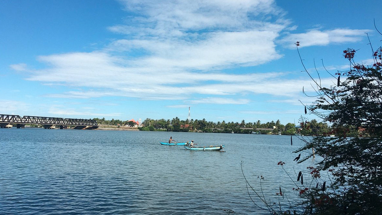
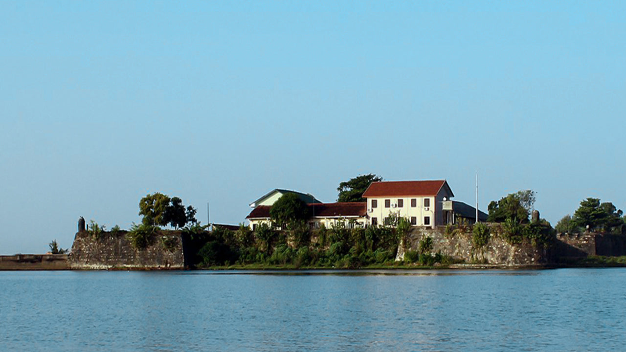
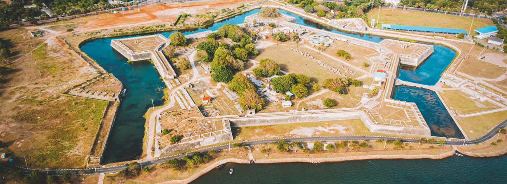
Batticaloa: Coastal city in Sri Lanka's Eastern Province, known for its scenic lagoon, sandy beaches, historic landmarks, and rich cultural heritage.
Kattankudy
Kattankudy to nadmorskie miasto w Sri Lance's Wschodniej prowincji, położone w pobliżu Batticaloa. Jest znane z przewagi ludności muzułmańskiej, z ponad 98% mieszkańców identyfikujących się jako Srilanka Moors. Miasto rozciąga się na około 2,56 kilometra kwadratowego lądu i 1,33 kilometra kwadratowego wewnętrznych wodach, co czyni je jednym z najgęściej zaludnionych obszarów w kraju. Lokalne gospodarka rozwija się dzięki handlowi, małym przemysłom i rybołówstwu, co odzwierciedla przedsiębiorczy duch społeczności....
W ostatnich latach Kattankudy zdobyło uwagę dzięki swoim architektonicznym atrakcjom, w tym replikom Kopuły na Skale w Jerozolimie. Ten trzykondygnacyjny meczet, otwarty w grudniu 2022 roku, posiada złotą kopułę i niebieską ośmiokątną podstawę, przyciągając odwiedzających i promując lokalny halal turystyki. Miasto mieści również Muzeum Kattankudy, które poświęcone jest zachowaniu i wystawianiu islamskiego dziedzictwa i kulturalnej historii regionu.
Kattankudy zmierzyło się z poważnymi wyzwaniami w swojej historii. 3 sierpnia 1990 roku miasto stało się miejscem tragicznej masakry, w której ponad 147 muzułmańskich wiernych zostało zabitych podczas wieczornej modlitwy. To wydarzenie pozostaje jednym z najciemniejszych rozdziałów w wojnie domowej Sri Lanki. Dodatkowo, tsunami z 2004 roku miało niszczycielski wpływ na miasto, prowadząc do utraty ponad 100 żyć i dużych zniszczeń majątkowych.
Pomimo tych trudności, Kattankudy wykazało się odpornością i zaangażowaniem w postęp. Inicjatywy takie jak Zielony Plan Miejski, opracowany we współpracy z Programem Narodów Zjednoczonych ds. Rozwoju, mają na celu promowanie zrównoważonego rozwoju miast. Działania te koncentrują się na poprawie usług publicznych, ochronie środowiska i dobrostanie społeczności, co sprawia, że Kattankudy jest wzorem dla inkluzywnego i zrównoważonego wzrostu w regionie.
Batticaloa District
Batticaloa is a city in the Eastern Province of Sri Lanka. Batticaloa is in the eastern coast of Sri Lanka on a flat coastal plain boarded by the Indian Ocean in the east occupies the central part of the eastern Sri Lanka. Batticaloa is on the East coast, 314 km from Colombo. The population of 515,707 consists mainly of Tamils, Moors, Sinhalese, Euro-Asian Burghers (specifically Portuguese Burghers and Dutch Burghers) and indigenous Vedda population.
Rice and coconuts are the two staples of the district, and steamers trading round the island call regularly at the port. The lagoon is famous for its ""singing fish,"" supposed to be shell-fish which give forth musical notes. The district has a remnant of Veddahs or wild men of the wood. The city has four main divisions. Pullianthivu: Seat of many government department and offices, schools, banks religious places, General Hospital, Weber Stadium and Shops. Nowadays many NGO offices including ICRC, UN, UNICEF, WORLD VISION etc.are located also.
Koddamunai: Schools, Banks, Sri Lanka Telecom regional office for East, Shops and many government offices are located. Two bridges called Perya Palam and Puthuppalam are connect Pulianthivu Island with Koddaminai land mass. Kallady: Here there are many Government buildings and private industries, schools, hospitals and Eastern University Medical Faculty. Kallady Lady Manning Bridge (the longest bridge in Sri Lanka) connects Kallady and Arasay.
Eastern Province
The Eastern Province is one of the 9 provinces of Sri Lanka. The provinces have existed since the 19th century but they didn't have any legal status until 1987 when the 13th Amendment to the 1978 Constitution of Sri Lanka established provincial councils. Between 1988 and 2006 the province was temporarily merged with the Northern Province to form the North-East Province. The capital of the province is Trincomalee. The Eastern province's population was 1,460,939 in 2007. The province is the most diverse in Sri Lanka, both ethnically and religiously.
Eastern province has an area of 9,996 square kilometers (3,859.5 sq mi).The province is surrounded by the Northern Province to the north, the Bay of Bengal to the east, the Southern Province to the south, and the Uva, Central and North Central provinces to the west. The province's coast is dominated by lagoons, the largest being Batticaloa lagoon, Kokkilai lagoon, Upaar Lagoon and Ullackalie Lagoon.