Rising abruptly from the flat, sun-baked plains of north-central Sri Lanka, Ritigala is a mountain unlike anything else in the region. At 766 metres above sea level — roughly 600 metres above the surrounding lowlands — it is the highest point in the northern dry zone, taller than Sigiriya, Dambulla, and Mihintale combined. Its forested slopes shelter one of the oldest and least-visited forest monasteries on the island, while its unique microclimate sustains plant communities that have no business growing in a dry-zone landscape. For travellers willing to leave the well-worn Cultural Triangle circuit, Ritigala offers something genuinely rare: solitude, ecological oddity, and layered history in a single half-day excursion.
What is the history of Ritigala Mountain?
The name Ritigala derives from the ancient Pali name Arittha Pabbata — "Dreadful Mountain" — recorded in the Mahavamsa, Sri Lanka's fifth-century chronicle. The mountain's history as a place of habitation predates even that text. Rock inscriptions and architectural evidence at the monastery site point to occupation from at least the 1st century BCE, and tradition associates the reservoir at its foot with King Pandukabhaya, who ruled Anuradhapura around the 4th century BCE.
Ritigala sits roughly 43 km from Anuradhapura and has long existed in the cultural shadow of that ancient city. Yet its remoteness was precisely its attraction for the monks who chose it: the pamsukulika tradition of forest-dwelling ascetics favoured isolated, forested hills exactly like this one. The ruins that remain today reflect a sophisticated and self-sufficient monastic community, not a grand royal foundation built for display.
What legends are connected to Ritigala?
Ritigala carries a dense accumulation of legend. One persistent tradition holds that the mountain is guarded by Yakkas — spirits described in early Sinhalese texts as superhuman beings worthy of reverence, though some scholars, including the late Professor Walpola Sri Rahula, suggest the term once referred to pre-Buddhist indigenous communities of the island.
The Mahavamsa records that Prince Pandukabhaya was aided by Yakkas during his campaigns against his eight uncles, battles partly fought at the foot of this mountain. A separate local legend recounts a duel between two giants, Soma and Jayasena; Soma perished in the contest, and Jayasena's name persisted in oral tradition for centuries.
The most widely told story links Ritigala to the Hindu epic Ramayana. According to this account, the god Hanuman was carrying a fragment of a Himalayan mountain laden with medicinal herbs to revive the wounded Prince Lakshmana. A piece of the mountain fell on Ritigala during the journey — a legend offered to explain why the summit vegetation looks so different from the surrounding dry-zone plains. A related story describes Hanuman using Ritigala Kanda as a launching point for his leap back toward South India after searching for Sita on the island.
Whatever one makes of the legends, they are consistent on one point: Ritigala's unusual flora has puzzled people for a very long time.
Why is Ritigala's climate and ecology so unusual?
Ritigala's four peaks intercept moisture-bearing winds, generating orographic rainfall that makes the upper slopes significantly wetter than the surrounding plains. During the northeast monsoon (roughly December to February), Ritigala receives some of the highest rainfall recorded anywhere in the entire dry zone — a climatic inversion that has no parallel elsewhere in the north-central region.
During the southwest monsoon, persistent mist and cloud cover at the summit produce high vapour condensation, keeping the soil moist even when the plains below are in full drought. The result is a wet microclimate island sitting inside one of Sri Lanka's driest landscapes — a phenomenon known in ecology as a "cloud forest" effect. The vegetation at the summit bears closer resemblance to montane wet-zone flora than to the thorny scrub and Acacia woodland found a few hundred metres below.
This ecological contrast — hot, dry foothills giving way to cool, mist-drenched summit forest within a short vertical distance — is what makes the Ritigala Strict Nature Reserve genuinely significant, and why access is controlled so carefully.
What is the Ritigala Strict Nature Reserve?
Gazetted on 7 November 1941, the Ritigala Strict Nature Reserve covers approximately 1,528 hectares. It is jointly managed by Sri Lanka's Department of Wildlife Conservation and the Forest Department. As a strict nature reserve — a higher level of protection than a national park — extractive activities and free-roaming tourism are prohibited. Visitors may access the site only along defined paths with a guide.
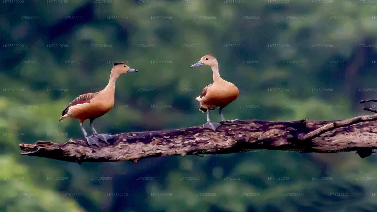
The reserve's protected status has helped preserve both the ecological integrity of the mountain and the archaeological remains within it. Wildlife recorded in and around the reserve includes endemic bird species, mammals such as sambar deer and wild boar, and a range of reptiles and amphibians adapted to the wet microclimate.
What can visitors see at the Ritigala monastery ruins?
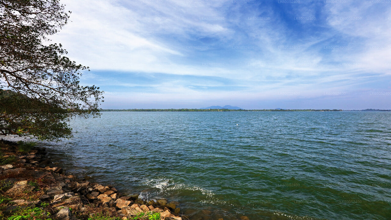
The monastery ruins occupy roughly 24 hectares on the eastern flank of the mountain, below the gorge known as Maha-Degala, which divides the massif into its northern and southern blocks. The approach begins at Banda Pokuna, an ancient reservoir with a bund circumference of around 366 metres, traditionally attributed to King Pandukabhaya. It is thought to have served as a ritual bathing site for pilgrims before they entered the sacred precinct — a practice comparable to the purification bath still observed by devotees at Kataragama.
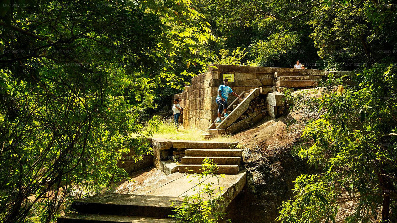
From the reservoir, a path leads to a set of stone steps and then onto a beautifully engineered paved walkway approximately 1.5 metres wide. Cut from interlocking stone slabs and flanked by the roots of mature forest trees, the path winds upward through the forest connecting the main monastic structures, with circular stone resting platforms placed at intervals along the route.
The most architecturally distinctive features are the padhanaghara complexes — double-platform structures built on massive stone retaining walls and connected by stone bridges. Similar structures can be found at Arankele and other ancient forest monasteries near Anuradhapura. The platforms were almost certainly roofed and subdivided into spaces for meditation and communal instruction.
Nearby ruins include what is interpreted as a monastery hospital. Grinding stones and large stone-cut basins — consistent with the preparation and storage of Ayurvedic oils and herbal compounds — remain in situ. The mountain's reputation for medicinal herbs, including a plant called Sansevi said in legend to confer longevity, may reflect real knowledge of the summit flora that early monastic communities put to practical use.
When is the best time to visit Ritigala?
The dry season — roughly April to September — offers the most comfortable walking conditions, with lower humidity and fewer leeches on the forest paths. That said, the northeast monsoon months (December to February) bring dramatic mist and cloud to the summit, which some visitors find atmospheric.
Early morning visits are strongly recommended regardless of season: the forest is cooler, birds are most active, and the quality of light filtering through the canopy is considerably better than midday. Plan for at least three to four hours on site to walk the main path and explore the monastery complex without rushing.
How do I get to Ritigala from nearby towns?
Ritigala is most conveniently reached from Habarana (around 20 km) or from Anuradhapura (around 43 km). Neither destination has direct public transport to the reserve entrance, so a private vehicle is the practical option for most visitors. The nearest accommodation hubs are Habarana and Sigiriya, both of which place Ritigala within comfortable reach as a half-day excursion that can be combined with Wilpattu National Park or the Kala Wewa reservoir on the same day.
The access road to the reserve is unpaved for the final section and can be rough after heavy rain; a vehicle with reasonable ground clearance is advisable in the wet season.
What practical information do visitors need?
| Detail | Information |
|---|---|
| Location | North Central Province, approximately 43 km from Anuradhapura |
| Nearest town | Habarana (~20 km) |
| Elevation | 766 m above sea level |
| Reserve area | 1,528 hectares |
| Monastery ruins area | Approximately 24 hectares |
| Reserve type | Strict Nature Reserve |
| Entry requirement | Entrance ticket; guide required on-site |
| Recommended visit duration | 3–4 hours minimum |
| Best season | April to September (dry season); early morning year-round |
Wear comfortable walking shoes with grip, carry drinking water, and apply insect repellent before entering the forest paths. The site has no food vendors or facilities inside the reserve.