Mullaitivu sits on the north-eastern edge of Sri Lanka's Northern Province, where the Indian Ocean meets a long stretch of relatively untouched coastline. Once a modest harbour serving sailing vessels moving cargo between Colombo and Jaffna, the town today is finding its footing as a destination again — a place where recent history, quiet beaches, and a resilient local community intersect in ways few other places in the country can replicate.
Where is Mullaitivu and how do I get there?
Mullaitivu is the capital of Mullaitivu District, located on the north-eastern coast of the Northern Province. It lies roughly 330 kilometres from Colombo by road — a journey that typically takes six to eight hours depending on the route and traffic. The most practical approach from Colombo is via the A9 highway north to Vavuniya, then east through Mannar or along interior roads into the district. Alternatively, travellers heading up from the east can approach via Trincomalee, keeping close to the coast.
There is no airport serving Mullaitivu directly. Colombo's Bandaranaike International Airport remains the main international gateway, and onward travel is by private vehicle or public bus. Hiring a private driver is the most flexible option for navigating the Northern and North-Eastern provinces, particularly for travellers who want to stop at points of interest along the way.
What is the history of Mullaitivu?
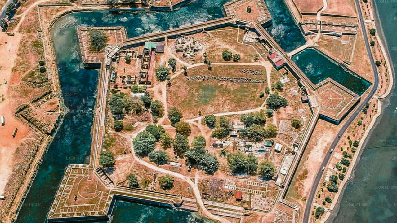
Mullaitivu's recorded past stretches back to the Kandyan period. During the British colonial era, a government house in the town was attacked by forces loyal to Pandara Vanniyan and the Dissava of Nuwara Kalawiya. Captain Drieberg, commanding a unit of Malay soldiers, evacuated the fort by boat and reached Jaffna — an episode that illustrates how strategically the British regarded the town's harbour position.
The district's administrative origins trace to the pre-colonial Jaffna kingdom. It subsequently came under Portuguese, Dutch, and British rule. In 1815 the British consolidated control of the entire island and initially organised it along ethnic lines. The structural overhaul came in 1833 following the Colebrooke-Cameron Commission, which unified these divisions into five geographic provinces. Vanni District — of which Mullaitivu was then a part — was merged with Jaffna and Mannar districts to form the Northern Province that largely exists today.
The most recent and consequential chapter of Mullaitivu's history unfolded during Sri Lanka's civil war. Through the 1990s the town changed hands and became an isolated government base; in 1996 the Sri Lankan armed forces withdrew after a significant military engagement. The area remained outside central government control for over a decade. The 2004 Indian Ocean tsunami compounded the hardship, causing considerable loss of life along the coast. The military offensive of early 2009 brought the conflict to a close in this area, and since then Mullaitivu has been the focus of sustained reconstruction efforts.
What can I see and do in Mullaitivu?
Tourism infrastructure in Mullaitivu is still developing, which means the area retains an authenticity that more heavily visited destinations have lost. The coastline is the primary draw: long sandy beaches backed by casuarina and coconut palms, with very few visitors outside the main holiday periods. The sea conditions and fish stocks also make the area of interest to those seeking deep sea fishing experiences in relatively uncrowded waters.
A number of war-era sites and memorials exist in and around Mullaitivu. These are treated with gravity by local communities and visiting them is an act that calls for sensitivity and respect. Several sites related to the final stages of the civil war have become points of reflection for families from across the country and from the Sri Lankan diaspora.
The lagoon and wetland areas around the district support birdlife that draws naturalists, particularly during the northern winter months when migratory species pass through. The wider Mullaitivu District also has stretches of forest and river habitat that remain largely unexplored by mainstream tourism.
What is the significance of Mullaitivu District?
Mullaitivu District is one of Sri Lanka's 25 administrative districts and one of the five that make up the Northern Province. It is governed by a District Secretariat headed by a District Secretary appointed by the central government. The district spans a mix of coastal plain, lagoon, and scrub jungle — an ecology broadly similar to other northern districts but with its own distinct character shaped by decades of limited outside access.
Fishing is the economic backbone of the district. The communities here have fished these waters for generations, and the harbour at Mullaitivu town, modest as it is, remains an active base for the local catch. Agriculture, particularly paddy cultivation, is practised in the interior DS divisions.
The district shares ecological characteristics with Wilpattu National Park to its south-west — both sit within the dry zone and support similar scrub and tank (reservoir) landscapes, though Mullaitivu's coastal wetlands add a distinct dimension.
When is the best time to visit Mullaitivu?
The north-eastern coast of Sri Lanka, including Mullaitivu, is best visited between May and September. During these months the south-west monsoon keeps the south and west of the island wet, but the north-east is typically dry and settled. Sea conditions along the Mullaitivu coast are generally calmer during this period, which is also when fishing activity is at its most productive.
The north-east monsoon (roughly October to January) brings rougher weather to this coast. Travel is still possible, but coastal access may be limited on some days and road conditions on minor routes can deteriorate with heavy rainfall. The shoulder months of February to April can offer a reasonable balance of dry weather and manageable heat.
Is Mullaitivu safe to visit?
Mullaitivu is open to visitors and has been since the conclusion of the civil conflict in 2009. The Security Forces Headquarters established in the town in June 2009 reflects the post-war administrative normalisation of the area. Travellers should carry their national identity document or passport as checkpoints remain part of life in parts of the Northern Province. Beyond that, the town operates normally, with government offices, schools, markets, and the everyday rhythm of a small Sri Lankan coastal settlement.
It is worth approaching sites connected to the conflict — both government and LTTE-related memorials — with awareness that these locations carry deep significance for many communities. Respectful behaviour and a willingness to listen are more valuable here than any guidebook itinerary.
What are the nearby attractions worth combining with a Mullaitivu visit?
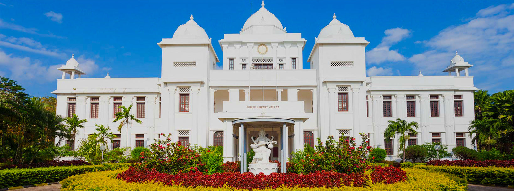
Mullaitivu is rarely visited in isolation. Most travellers include it as part of a broader circuit of the Northern and Eastern provinces. Jaffna, the cultural heart of Tamil Sri Lanka, lies to the north-west and is the most common base for exploring the region. Pigeon Island, off Nilaveli near Trincomalee, is a practical addition for those coming from or heading to the east coast — a marine national park known for its reef and blacktip reef sharks.
Inland, the ancient city of Polonnaruwa is accessible from the south of the district and forms a natural anchor for any cultural itinerary through the north-central region. For travellers with more time, a circuit encompassing Mullaitivu, Trincomalee, Polonnaruwa, and Jaffna covers a remarkable cross-section of Sri Lankan history, ecology, and living culture.