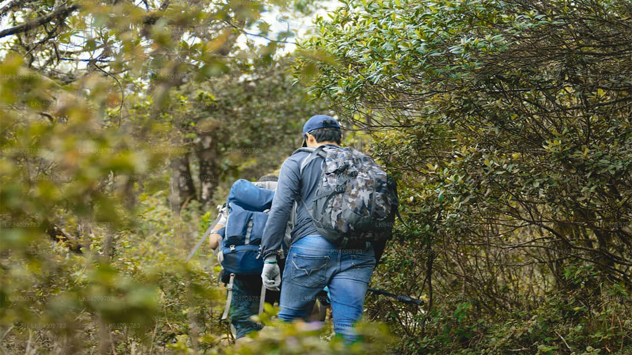
리티갈라 산


리티갈라는 중앙 스리랑카에 위치한 산으로, 고대 불교 수도원이 자리하고 있습니다. 이 수도원의 유적과 암석 비문은 기원전 1세기까지 거슬러 올라갑니다. 이곳은 고대 수도 도시 아누라다푸라에서 약 43km 떨어진 곳에 위치합니다.
리티갈라 산은 주변 평야에서 가파르게 솟아오른 네 개의 봉우리로 이루어져 있습니다. 산의 길이는 약 6.5km이며, 마하-데갈라 협곡에 의해 북쪽과 남쪽 지역으로 나뉩니다. 가장 높은 봉우리는 남쪽에 있는 리티갈라 칸다입니다.
해발 766m, 주변 평야보다 약 600m 높은 위치에 있는 리티갈라는 북부 스리랑카에서 가장 높은 산입니다. 현대의 이름 리티갈라는 고대 이름 아리타 파바타(Arittha Pabbata)에서 유래했으며, 이는 “두려운 산”이라는 의미로 마하밤사에 기록되어 있습니다.
이 산의 높이는 북중부 평야의 다른 유명한 명소들인 시기리야, 담불라, 미힌탈레보다 더 높습니다. 이 지형적 특징의 중요성은 산괴의 급격한 경사, 숲이 우거진 비탈면, 그리고 정상에서 발견되는 습한 미기후에 있습니다.
기후
이 산은 습기를 머금은 바람을 가로막아 지형성 강수를 발생시키며, 그 결과 주변 저지대보다 더 습한 환경을 형성합니다. 북동 몬순 기간(12월부터 2월까지) 동안 리티갈라는 건조 지대 전체에서 가장 많은 강우량을 기록합니다.
리티갈라의 습한 미기후는 북중부 평야에서 나타나는 독특한 현상으로, 고대 스리랑카의 지역인 웨우 반디 라타(Wewu Bandi Rata)에서 발견됩니다. 이 이름은 “빗물 저수지의 땅”을 의미합니다.
정상의 기후는 산기슭의 기후와 뚜렷한 차이를 보입니다. 주변 지역의 덥고 건조한 기후와 비교하여 더 시원합니다. 남서 몬순 동안 안개와 구름이 발생하면서 수증기의 응결이 증가하여 주변 평야가 가뭄을 겪을 때에도 토양이 촉촉하게 유지됩니다.
리티갈라 엄격 자연 보호구역
리티갈라는 1,528헥타르에 이르는 엄격한 자연 보호구역입니다. 이 보호구역은 1941년 11월 7일에 지정되었으며, 스리랑카의 야생동물 보호부와 산림부가 공동으로 관리하고 있습니다.
전설
리티갈라에는 많은 전설이 전해집니다. 그중 하나는 산 정상 근처에서 발견되는 강력한 약초와 관련된 신비로운 믿음입니다. 산세비(Sansevi)라는 약초는 장수를 가져다주고 인간의 질병을 치유하는 힘이 있다고 믿어집니다. 전설에 따르면 리티갈라의 모든 식물은 산의 수호령인 야카(Yakka)들에 의해 보호된다고 합니다.
존경받는 학자이자 불교 승려이며 역사와 종교의 교수였던 왈폴라 스리 라훌라 마하 테라는 야크사(Yaksa)라는 용어가 존경받을 만한 초자연적 존재를 의미한다고 설명했습니다. 또한 이는 스리랑카의 불교 이전 토착 공동체를 가리킬 수도 있습니다.
또 다른 전설에 따르면 판두카바야 왕자는 리티갈라 기슭에서 여덟 명의 삼촌과 싸우는 동안 야카들의 도움을 받았다고 합니다. 다른 이야기에서는 소마(Soma)와 자야세나(Jayasena)라는 두 거인, 혹은 야카 사이의 결투가 언급됩니다. 이 결투에서 소마는 죽고 자야세나는 전설적인 인물이 되었습니다.
하누만과 리티갈라의 전설
대중적인 믿음에 따르면 하누만 신은 한때 약초로 가득한 히말라야 산의 일부를 운반하면서 리티갈라 위를 지나갔다고 합니다. 그는 라마 신의 형제인 락슈마나 왕자의 생명을 구하기 위해 필요한 희귀한 약초를 얻기 위해 그 산을 랑카로 옮기고 있었습니다. 이 여정 중에 산의 일부가 리티갈라에 떨어졌다고 전해집니다.
이 전설은 리티갈라 정상에서 발견되는 독특한 식생을 설명하는 데 자주 사용됩니다. 이 식생은 아래쪽 경사면과 주변 평야에서 발견되는 건조 지대의 일반적인 식물과는 다릅니다.
또 다른 이야기에서는 하누만이 라바나 왕에게 납치된 라마 신의 배우자 시타를 찾기 위해 랑카를 방문했던 이전 사건을 설명합니다. 전설에 따르면 하누만은 남인도로 큰 도약을 하기 위한 출발점으로 리티갈라 칸다를 사용했다고 합니다.
리티갈라 고대 수도원의 유적
리티갈라 수도원의 유적은 주 봉우리와 북쪽 능선을 나누는 협곡 기슭의 산 동쪽에 위치해 있습니다. 이 유적은 약 24헥타르의 면적을 차지하고 있습니다. 수도원 단지는 반다 포쿠나(Banda Pokuna)로 알려진 저수지 근처에서 시작됩니다.
이 고대 저수지는 초기 공학 기술의 인상적인 예로, 둑의 둘레가 약 366미터에 이릅니다. 저수지의 건설은 전통적으로 판두카바야 왕의 업적으로 여겨집니다. 방문객들이 수도원에 들어가기 전에 의식적인 목욕을 하는 장소로 사용되었다고 믿어집니다.
목욕 연못, 입구 유적, 그리고 길의 배치는 과거에 많은 신자들이 이 수도원을 방문했음을 보여줍니다. 이러한 의식적 접근 방식은 카타라가마의 전통과 유사하며, 순례자들은 종교적 제물을 바치기 전에 정화 목욕을 합니다.
저수지 가장자리를 따라가면 개울과 가파른 계단이 나타나며, 이 계단은 아름답게 만들어진 돌길로 이어집니다. 약 1.5미터 너비의 이 포장된 길은 숲을 통과하며 수도원의 주요 건물들을 연결합니다. 이 길은 서로 맞물린 돌판으로 만들어졌으며 일정 간격으로 원형 휴식 공간이 배치되어 있습니다.
돌다리, 높은 플랫폼과 안뜰
수도원에는 파다나가라(Padhanaghara)로 알려진 이중 플랫폼 구조가 있으며, 이는 숲속 수도원의 특징적인 건축 양식입니다. 이와 유사한 구조는 아랑켈레(Arankele)와 아누라다푸라 근처의 다른 숲속 수도원에서도 발견됩니다.
이 구조물들은 큰 돌 옹벽으로 만들어진 높은 플랫폼으로 이루어져 있으며 돌다리로 서로 연결되어 있습니다. 이 플랫폼들은 지붕이 있었을 가능성이 있으며, 명상, 교육, 종교 의식에 사용되는 방들로 나누어져 있었던 것으로 보입니다.
근처의 유적은 약초를 준비하던 수도원 병원이 존재했음을 보여줍니다. 분쇄용 돌과 돌을 깎아 만든 큰 아유르베다 오일 목욕 시설을 현장에서 아직도 볼 수 있습니다.
주요 돌길은 숲을 따라 계속 이어지며 거대한 나무 뿌리 사이를 따라 난 길을 통해 도달할 수 있는 전망 지점을 지나갑니다. 또한 두 바위 사이에 돌판을 놓아 만든 인공 폭포도 있습니다.
길을 더 따라가면 수도원 단지에서 가장 큰 이중 플랫폼 구조 중 일부가 있는 움푹 들어간 안뜰이 나타납니다. 한 플랫폼에는 한때 건물을 지탱했던 기둥의 흔적이 남아 있으며, 같은 안뜰 안에 또 다른 큰 플랫폼이 근처에 서 있습니다.
-
 피두루탈라갈라
피두루탈라갈라(Pidurutalagala), 영어로는 페드로 산은 스리랑카에서 가장 높은 산으로, 높이는 2,524m(8,281피트)에 달합니다. 페드로 산은 누와라엘리야 시 근처에 위치해 있으며, 중부 지방 대부분 지역에서 쉽게 볼 수 있습니다. 누와라엘리야 시에서 북북동쪽에 자리하고 있습니다.
-
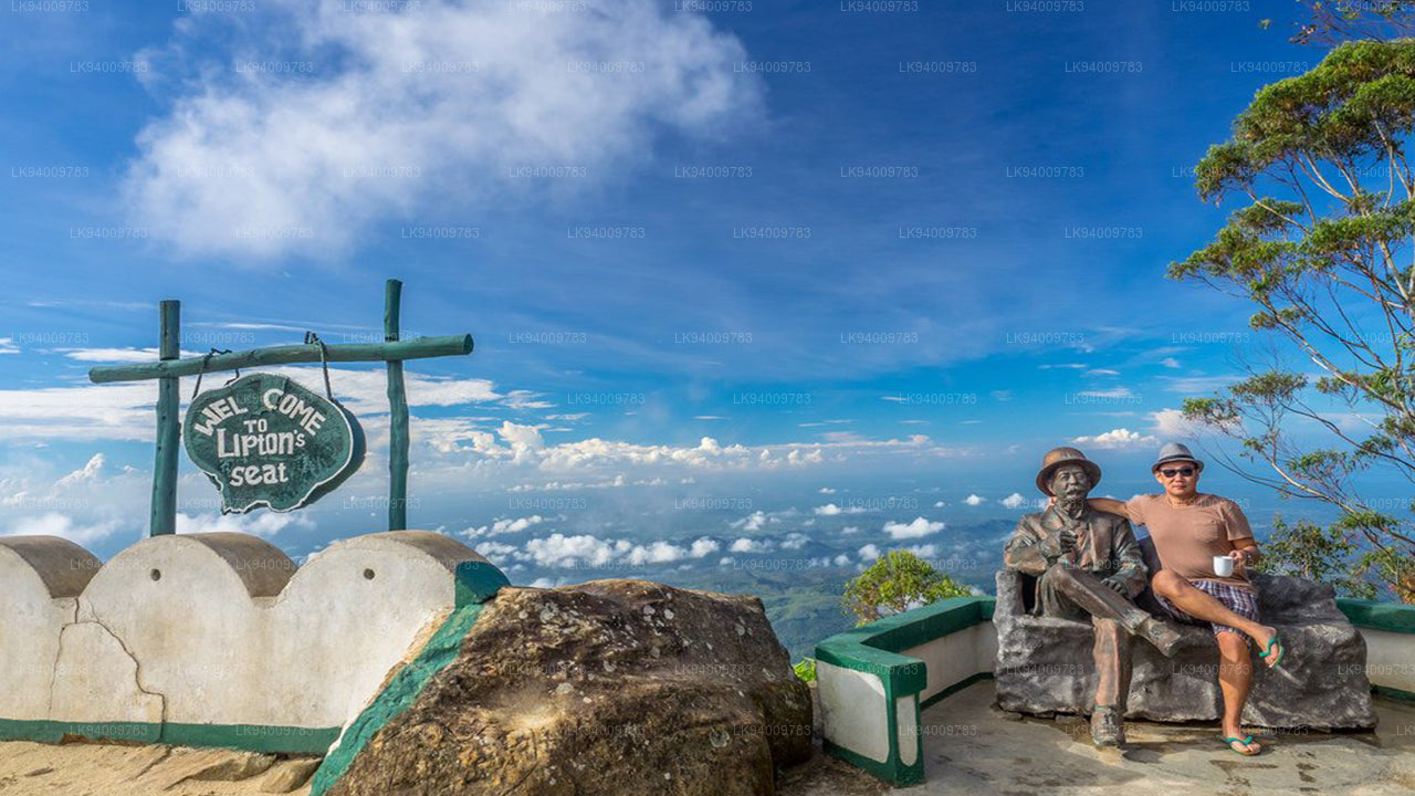 립턴의 자리
립턴스 시트는 푸나가라 언덕에 있는 높은 전망대입니다. 마을 이름의 유래가 된 푸나가라 언덕 꼭대기에 위치해 있으며, 담바텐네 차 공장과도 가깝습니다. 립턴스 시트라는 이름은 오래전 유명한 스코틀랜드 귀족이자 차 재배업자였던 토머스 립턴 경이 자신의 제국을 조망하기 위해 사용했던 곳에서 유래했습니다.
-
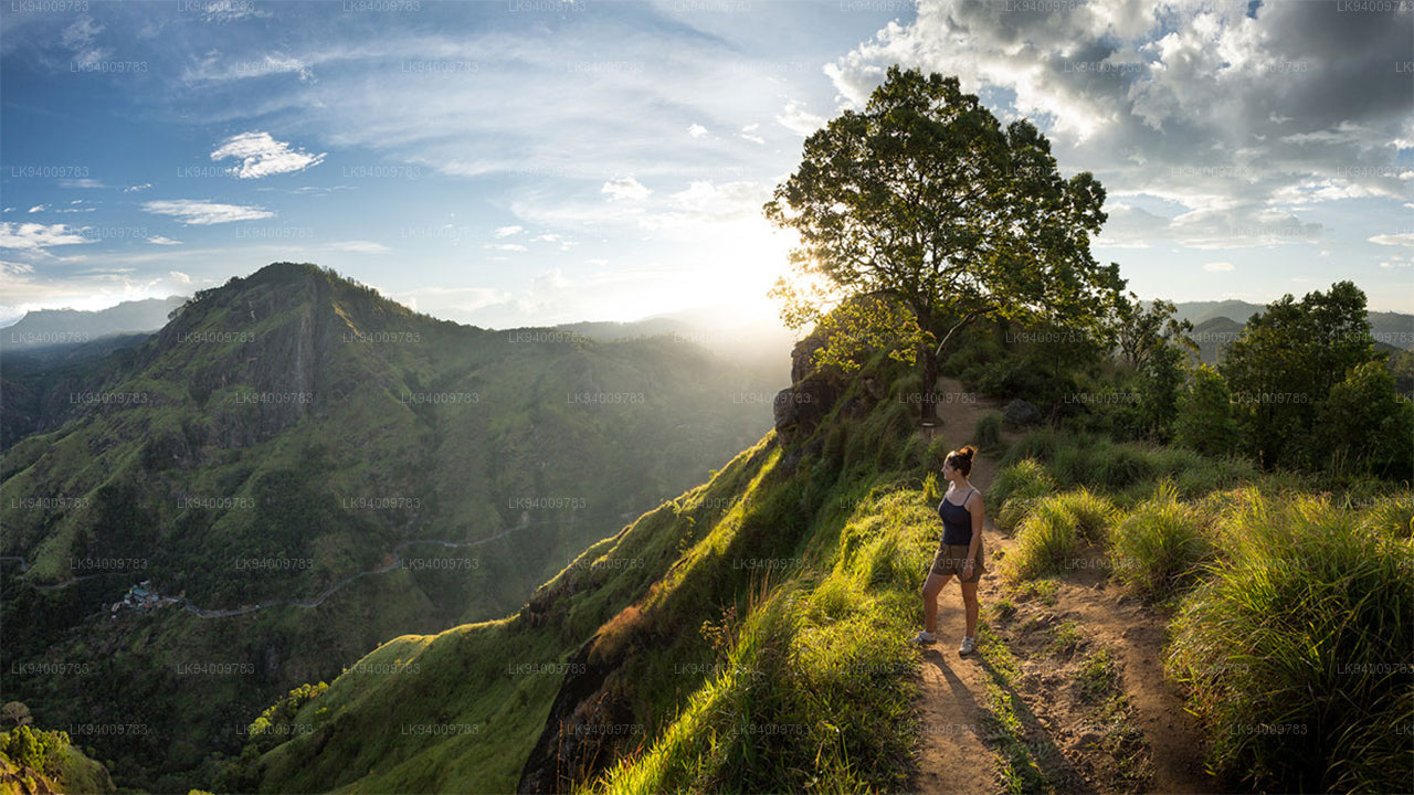
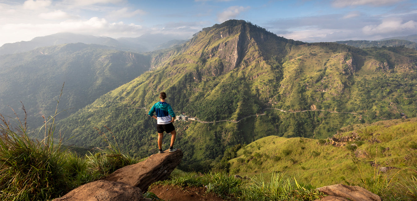
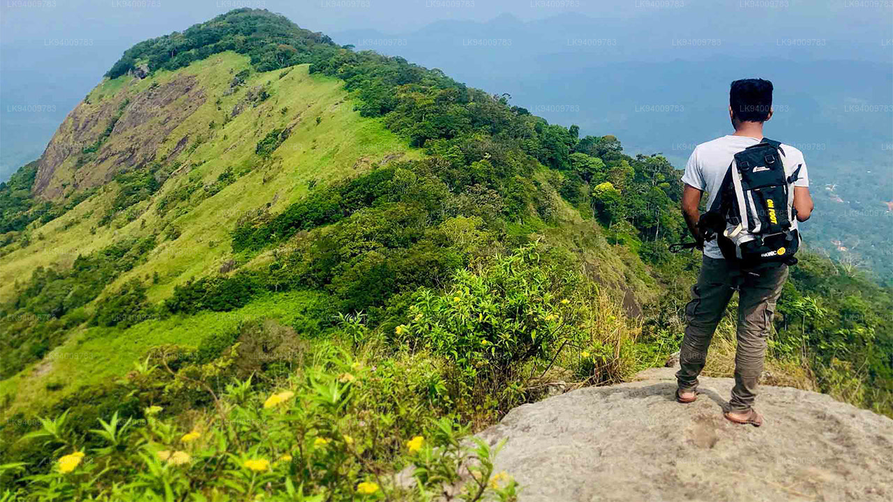
 리틀 아담스 피크
스리랑카의 아름다운 관광 명소인 리틀 아담스 피크를 얕보지 마세요. '리틀'이라는 이름에서 알 수 있듯이, 이 산은 부처님의 발자국이 보존되어 있는 신성한 아담스 피크(스리파다)와 그 산의 유사성 때문에 그런 이름이 붙었습니다.
-
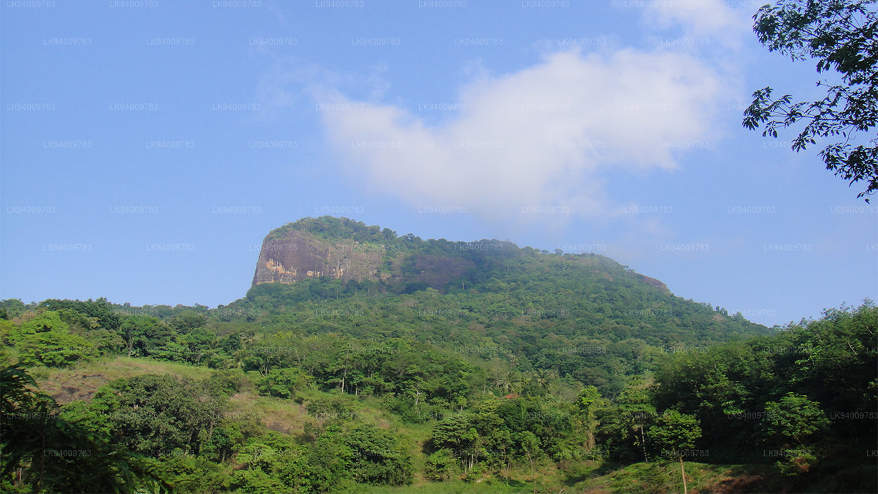
 에타갈라(코끼리 바위)
에타갈라(코끼리 바위)는 스리랑카 쿠루네갈라 마을을 내려다보는 일곱 개의 바위 중 하나입니다. 이 바위는 마을 위로 316미터(1,037피트) 높이 솟아 있으며, 그 모양이 웅크린 코끼리를 닮았다고 해서 이러한 이름이 붙었습니다.
-
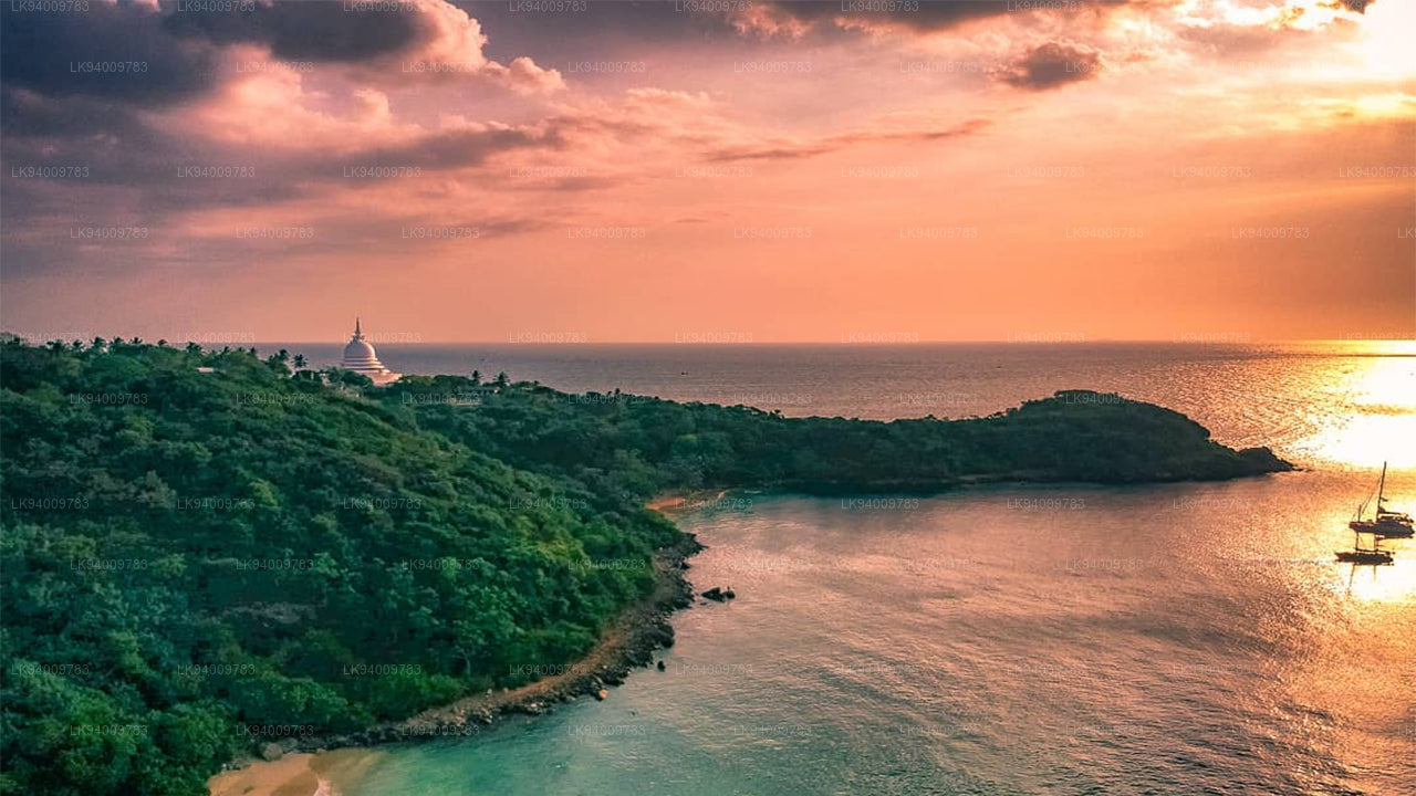 루마살라 산
루마살라 산. 과거에는 루마살라가 부오나 비스타(Buona Vista)로 알려졌는데, 이 이름은 식민지 시대로 거슬러 올라가며 아마도 변형된 것일 가능성이 높습니다.
-
 알라갈라 산맥
알라갈라 산맥. 알라갈라 산맥 또는 "감자 산맥"은 스리랑카의 중부 주와 사바라가무와 주의 경계에 위치해 있습니다.
-
 바이블 록
바이블 록바이블 록은 스리랑카 중부 케갈레 지구 아라나야케 근처에 있는 산입니다. 표면이 성경을 닮았다고 해서 "성경 바위"로 알려져 있습니다.
-
 몽키 마운틴
몽키 마운틴. 갈 오야 지역은 울창한 숲과 무성한 초목으로 뒤덮여 있습니다. 전쟁 중에는 출입이 금지되어 인적이 드물었던 이 지역은 개발이 거의 이루어지지 않아 자연 그대로의 모습을 간직하고 있습니다.
-
 야항갈라
야항갈라위대한 왕 라바나의 시신은 그의 백성들이 사랑하는 고인이 된 왕에게 마지막 경의를 표할 수 있도록 야항갈라(기반암)라고 불리는 이 바위 위에 그의 사후 안치되었습니다.