Pidurutalagala

Pidurutalagala Mountain in Sri Lanka (literally translating to Straw Plateau Rock), which is also called Mount Pedro in English is the tallest mountain on the island and situated in the Central Province, north – northeast to the town of Nuwara Eliya. It is also the only ultra prominent peak on the island, and one of only 1515 ultra prominent peaks around the world. An ultra prominent peak is a mountain that has topographic prominence (height of the peak’s summit above the lowest contour line encircling it up to the highest summit) above 1500 meters. Mount Pedro has prominence and elevation of 2524m (8281 feet) (8292 feet according to the Survey Department).

The mountain of Pidurutalagala has a forest reserve surrounding it. The forest underwent damage five years ago in a forest fire, causing the loss of some 3 acres of forest. However, the damage is being repaired now with the assistance of nature and human intervention. The area of the mountain and forest reserve has been designated an ultra-high security zone due to the summit being used to house the communications array of the Sri Lankan Government and the Armed Forces of the country.

Pidurutalagala Mountain in Sri Lanka: Historical Background

The mountain was famed as a place to visit during the British regimen; and records show that, during the year of 1897, there were paths to climb the mountain by foot using a two and half hour trek or in a shorter time by horseback.

It was so popular that there were sedan chairs available for the ladies who wished to visit the mountaintop. Sedans were a form of wooden litter which was used primarily in Britain and Europe at the time. It was a chair placed on top of two long wooden poles (in the case of the chairs used on Mount Pedro, they were bamboo) and the parallel poles were borne by strong men on their shoulders. Some chairs had additional décor such as carved seats, hoods to keep out the sun, curtains to protect from the draft and etc. They were usually used by highborn ladies of the West. Hence their presence in the rural Sri Lanka of those ages shows the presence and visits of many such ladies to the mountain. The mountain gained its nickname ‘Pedro’ from the British as pronouncing the word ‘Pidurutalagala’ was a difficult feat for them.

Unlike most mountain summits which are rocky, Pidurutalagala Mountain in Sri Lanka had a cap of pale green vegetation on its somewhat flat summit as per eyewitness accounts of the 1940s. During the summer months the vegetation had a tendency to dry to a pale yellow giving it a straw-like appearance, and hence the name ‘Straw Laden Rock’ or ‘Pidurutalagala’ in Sinhala. During the early 20th century the mountain still had only a single human-made path to the summit. The only other trails were from the elephants that frequented the mountain. The rest of the mountain was all untouched vegetation. The forest visibly changed drastically from the lowland forests as the height increased. Most notably, the trees were shorter and the tops flattened higher up on the mountain; primarily due to the strong winds. They were also more gnarled and branched out and had lichen and moss clinging to them, displaying characteristics of cloud forests. The single man-made path had way stones with the height from sea level marked on them in feet.

Pidurutalagala Mountain in Sri Lanka: The Geology

  • 피두루탈라갈라(Pidurutalagala), 영어로는 페드로 산은 스리랑카에서 가장 높은 산으로, 높이는 2,524m(8,281피트)에 달합니다. 페드로 산은 누와라엘리야 시 근처에 위치해 있으며, 중부 지방 대부분 지역에서 쉽게 볼 수 있습니다. 누와라엘리야 시에서 북북동쪽에 자리하고 있습니다.

    피두루탈라갈라 
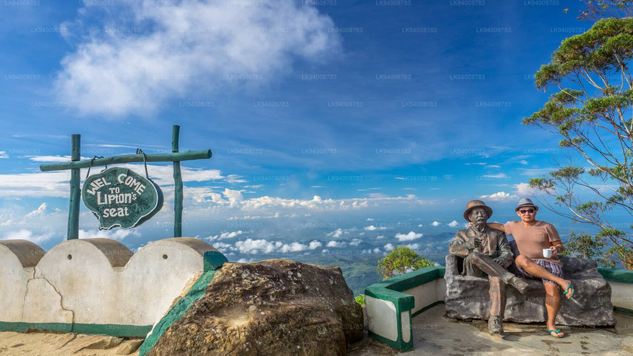
  • 립턴스 시트는 푸나가라 언덕에 있는 높은 전망대입니다. 마을 이름의 유래가 된 푸나가라 언덕 꼭대기에 위치해 있으며, 담바텐네 차 공장과도 가깝습니다. 립턴스 시트라는 이름은 오래전 유명한 스코틀랜드 귀족이자 차 재배업자였던 토머스 립턴 경이 자신의 제국을 조망하기 위해 사용했던 곳에서 유래했습니다.
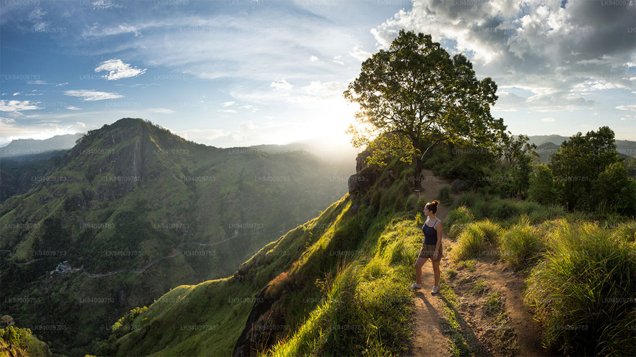
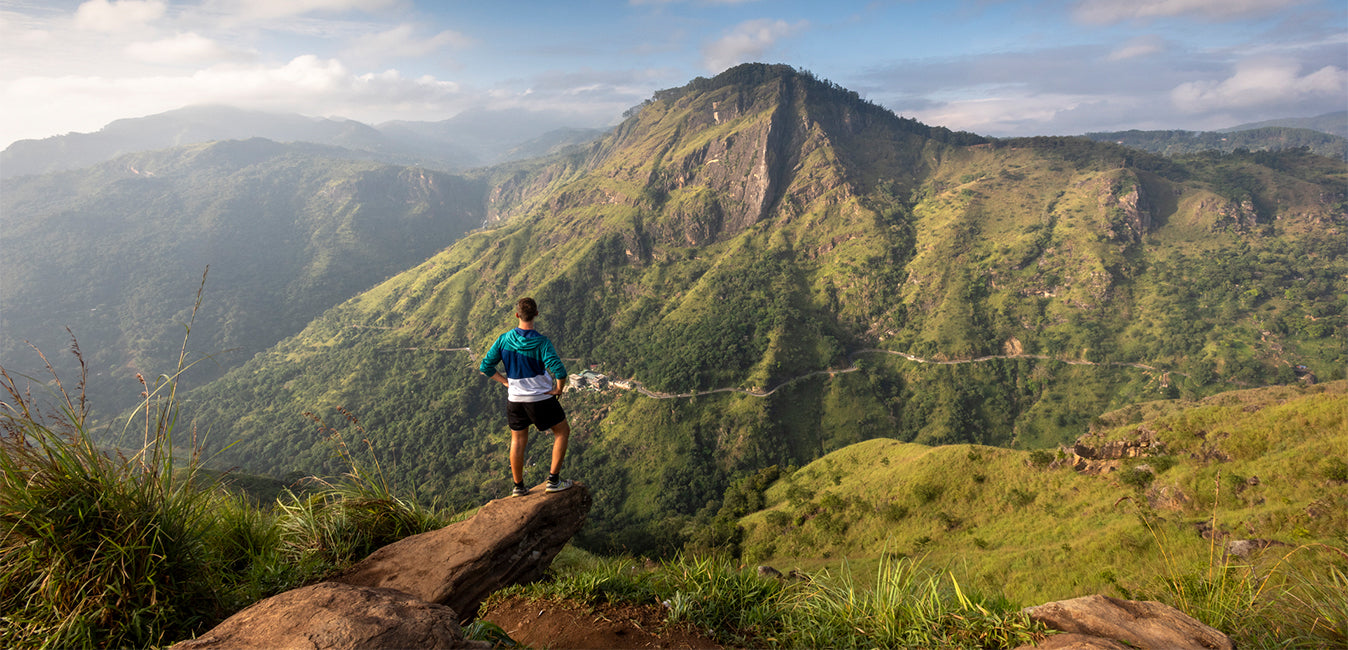
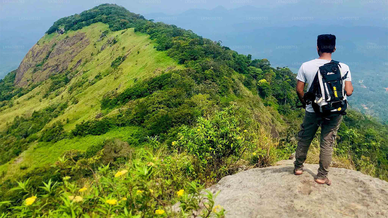
    립턴의 자리 
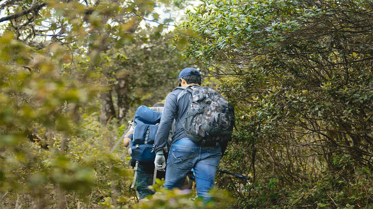
  • 스리랑카의 아름다운 관광 명소인 리틀 아담스 피크를 얕보지 마세요. '리틀'이라는 이름에서 알 수 있듯이, 이 산은 부처님의 발자국이 보존되어 있는 신성한 아담스 피크(스리파다)와 그 산의 유사성 때문에 그런 이름이 붙었습니다.

    리틀 아담스 피크 
  • 리티갈라는 하바라나에서 12km 떨어진 하바라나-아누라다푸라 도로의 갈림길에서 접근할 수 있습니다. 거기서 자갈길이지만 차량 통행이 가능한 길을 따라 5km 더 가면 산기슭에 도착합니다.

    리티갈라 
  • 에타갈라(코끼리 바위)는 스리랑카 쿠루네갈라 마을을 내려다보는 일곱 개의 바위 중 하나입니다. 이 바위는 마을 위로 316미터(1,037피트) 높이 솟아 있으며, 그 모양이 웅크린 코끼리를 닮았다고 해서 이러한 이름이 붙었습니다.
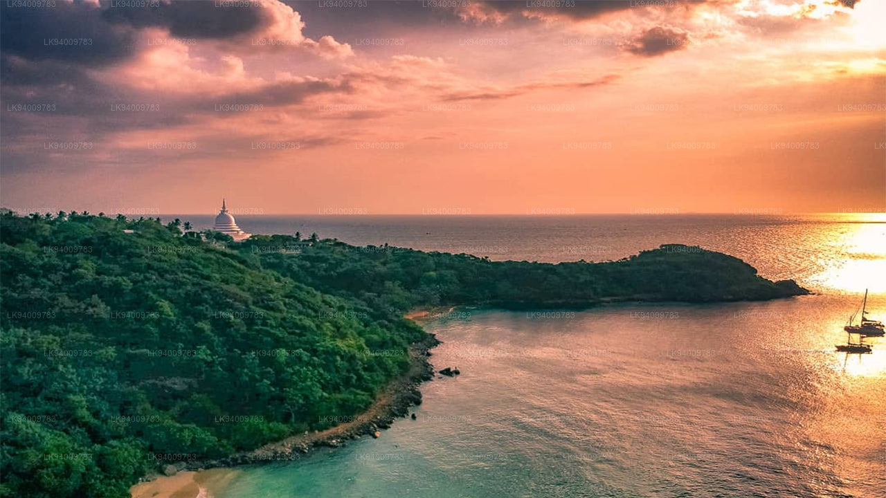
    에타갈라(코끼리 바위) 
  • 루마살라 산. 과거에는 루마살라가 부오나 비스타(Buona Vista)로 알려졌는데, 이 이름은 식민지 시대로 거슬러 올라가며 아마도 변형된 것일 가능성이 높습니다.

    루마살라 산 
  • 너클스 산맥(덤바라 산맥이라고도 함)은 스리랑카 중부 고원 북쪽 끝, 캔디 인근에 위치해 있습니다. 산맥의 남쪽과 동쪽으로는 마하웰리 강 유역이, 서쪽으로는 마탈레 평원이 펼쳐져 있습니다.

    너클스 레인지 
  • 알라갈라 산맥. 알라갈라 산맥 또는 "감자 산맥"은 스리랑카의 중부 주와 사바라가무와 주의 경계에 위치해 있습니다.
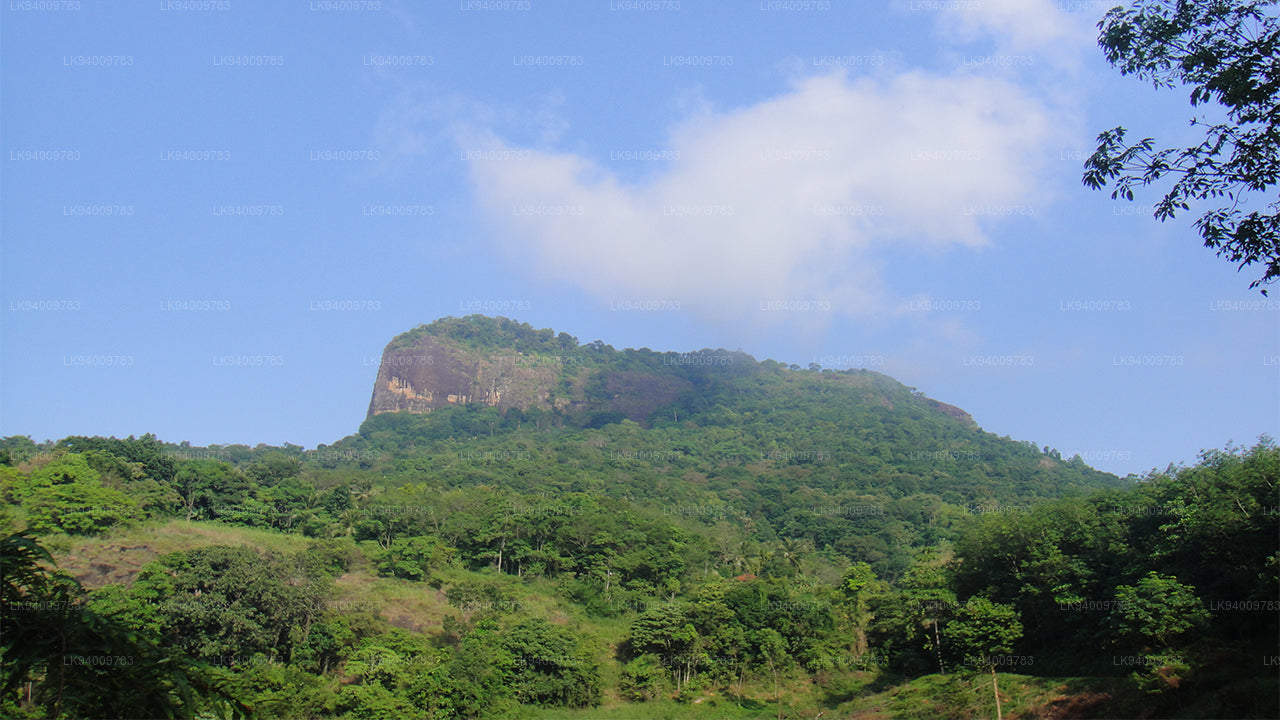
    알라갈라 산맥 
  • 바이블 록은 스리랑카 중부 케갈레 지구 아라나야케 근처에 있는 산입니다. 표면이 성경을 닮았다고 해서 "성경 바위"로 알려져 있습니다.
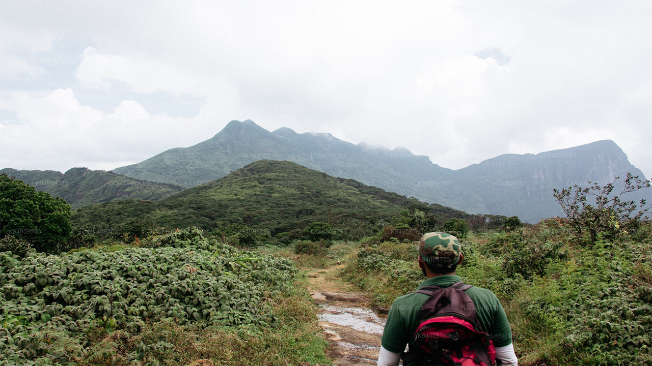
    바이블 록 
  • 우라칸다. 우라칸다 산맥은 케갈레 지구에 위치해 있습니다. 숨 막힐 듯 아름다운 주변 경관을 자랑하는 멋진 산입니다.

    우라 칸다 
  • 몽키 마운틴. 갈 오야 지역은 울창한 숲과 무성한 초목으로 뒤덮여 있습니다. 전쟁 중에는 출입이 금지되어 인적이 드물었던 이 지역은 개발이 거의 이루어지지 않아 자연 그대로의 모습을 간직하고 있습니다.

    몽키 마운틴 
  • 위대한 왕 라바나의 시신은 그의 백성들이 사랑하는 고인이 된 왕에게 마지막 경의를 표할 수 있도록 야항갈라(기반암)라고 불리는 이 바위 위에 그의 사후 안치되었습니다.

    야항갈라