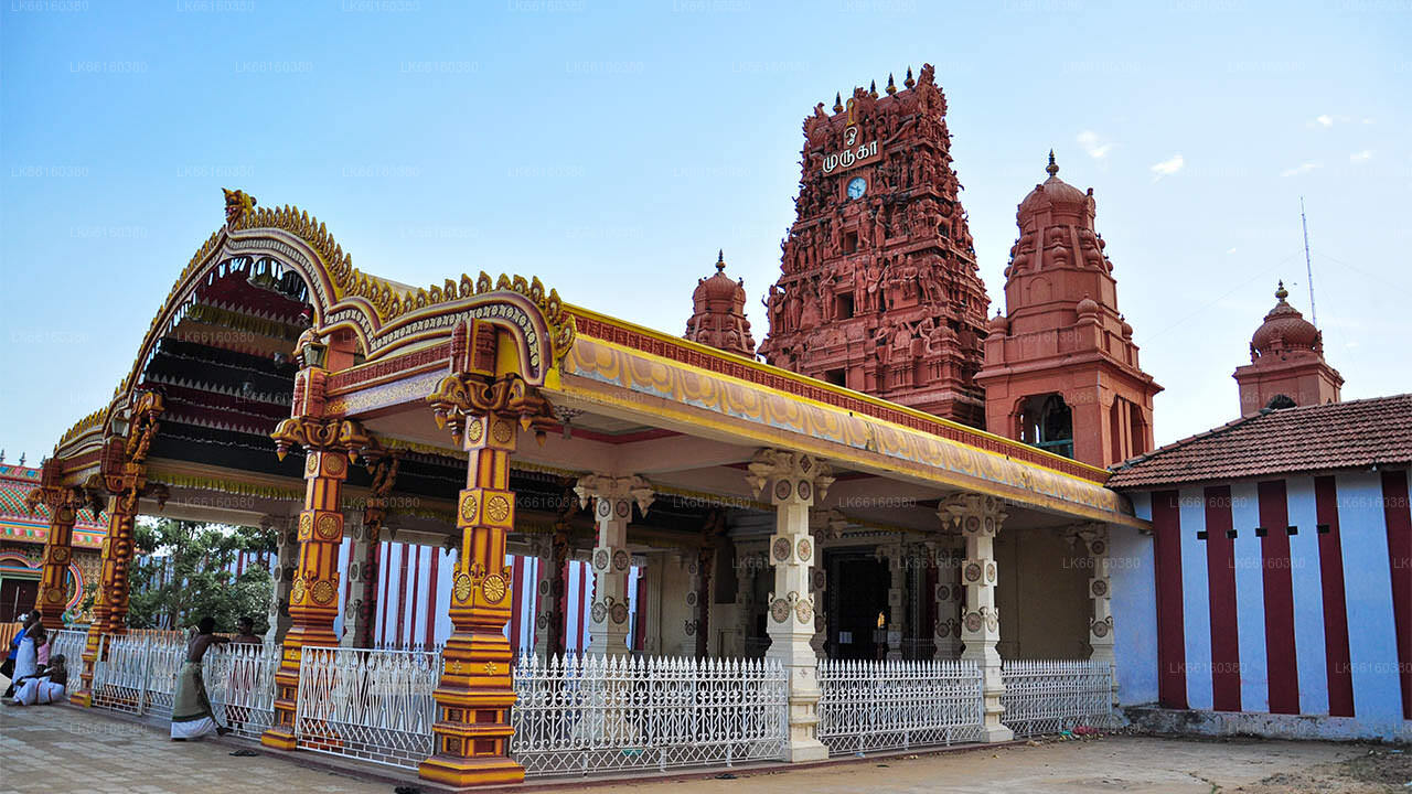
물라이티부 시티


물라이티부 는 물라이티부 구역의 주요 도시로, 북부 지방의 북동쪽 해안에 위치하고 있습니다. 스리랑카에서 주로 어촌이었던 이 도시는 20세기 초, 작은 항해 배들이 콜롬보와 자프나 간에 물품을 운반하면서 성장했습니다. 이 도시는 구청 사무소와 여러 다른 정부 기관 및 학교가 위치한 곳입니다.
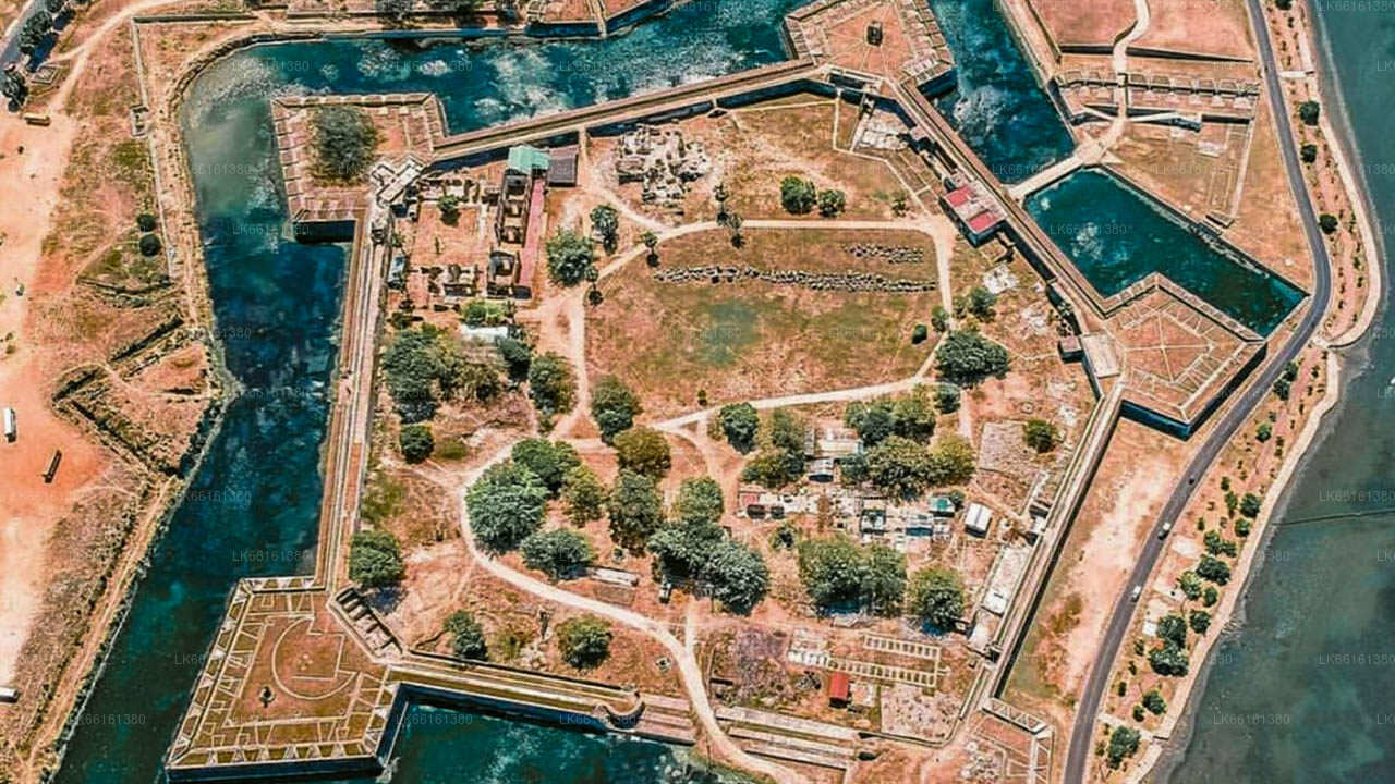
칸디안 전쟁 동안, 물라이티부에 있던 영국 정부의 집은 판다라 반니얀과 누와라 칼라위야의 디사바 군대에 의해 공격받고, 요새는 포위되었습니다. 드리버 대위는 말레이시아 군대와 함께 보트로 요새를 탈출해 자프나에 도달했습니다. 스리랑카 내전 중 물라이티부는 스리랑카 군대의 고립된 기지가 되었습니다. LTTE는 1996년 치열한 전투에서 이 기지를 점령했습니다. 그 후, 스리랑카 군대는 물라이티부에서 철수하였고, LTTE가 이 지역을 장악하게 되었습니다. 2004년 인도양 쓰나미로 큰 피해를 입었고 많은 생명이 희생되었습니다. 스리랑카 군대는 2009년 1월 25일 물라이티부를 다시 점령했고, LTTE에 대한 공세에서 물라이티부 전투가 있었습니다. 물라이티부의 보안군 본부는 6월 5일에 설립되었습니다.
물라이티부 구역에 대하여
물라이티부 구역은 스리랑카의 25개 구역 중 하나로, 스리랑카의 두 번째 행정 구역입니다. 이 구역은 스리랑카 중앙 정부가 임명한 구역 사무소가 관리하며, 구역의 수도는 물라이티부 시입니다.
현재의 물라이티부 구역 일부는 전통적인 자프나 왕국의 일부였습니다. 이 구역은 후에 포르투갈, 네덜란드, 영국의 통제 하에 있었습니다. 1815년 영국은 실론 전역을 지배하게 되었습니다. 그들은 섬을 세 가지 민족 기반의 행정 구조로 나누었습니다: 저지대 신할라인, 칸디 신할라인, 타밀인. 이 구역은 당시 반니 구역의 일부였으며, 타밀 행정 하에 있었습니다. 1833년, 콜브룩-카메론 위원회의 권고에 따라 민족 기반의 행정 구조는 하나로 통합되었고, 다섯 개의 지리적 지역으로 나누어졌습니다. 반니 구역은 자프나 구역과 만나르 구역과 함께 새로운 북부 지방을 형성했습니다.