Meemure
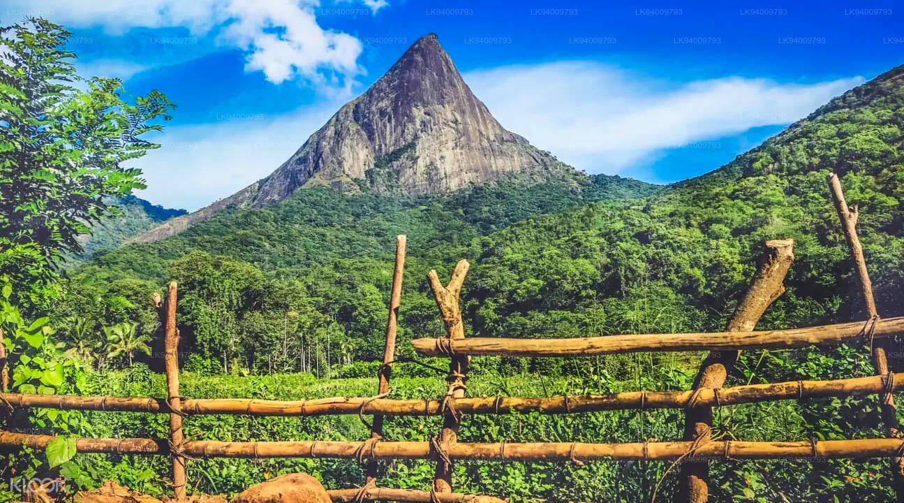
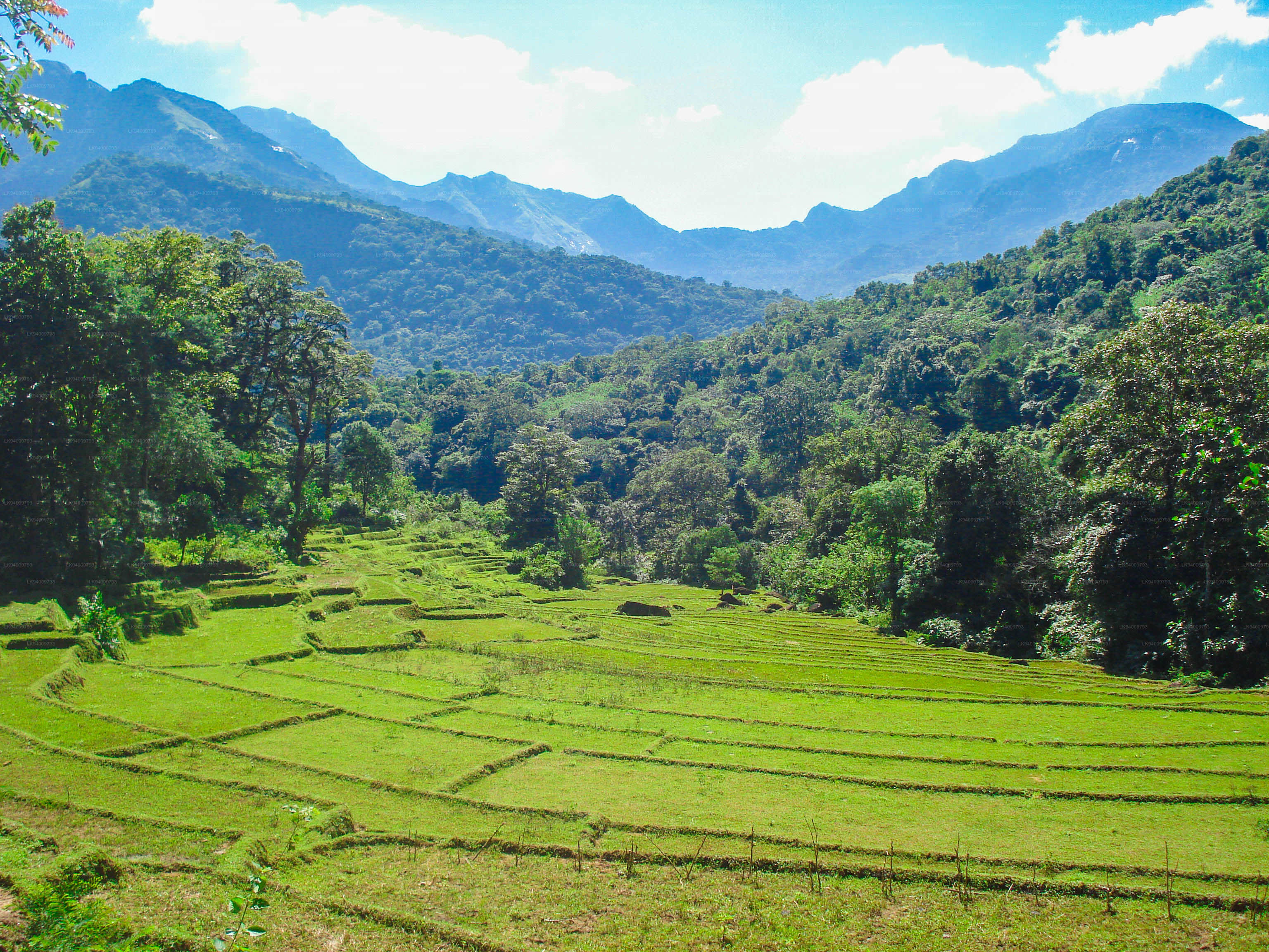
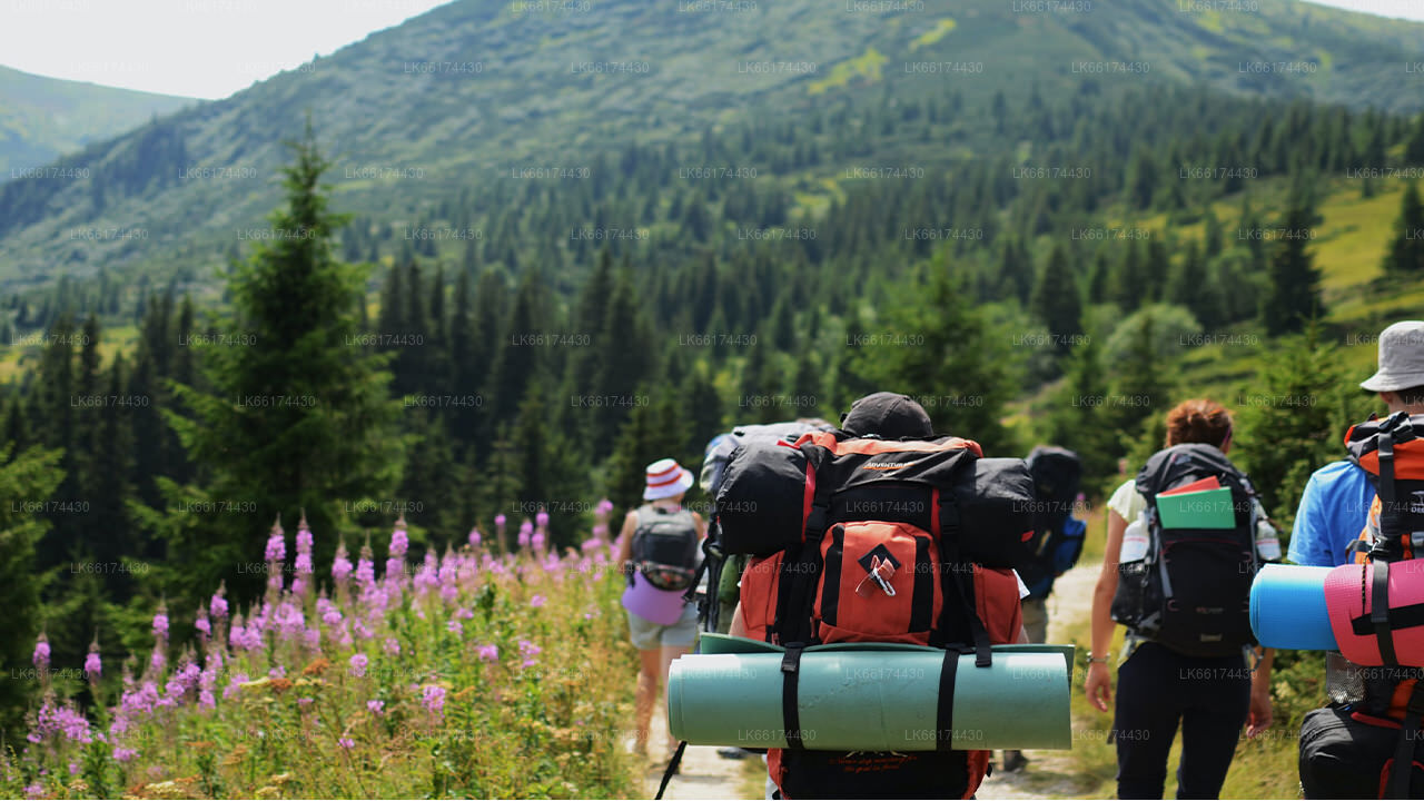
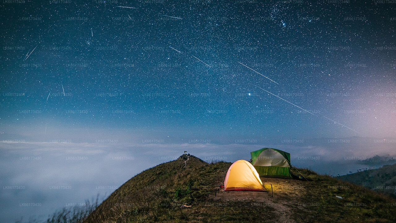
Meemure is an isolated village in the Central Province of Sri Lanka, located 324m above sea level and hidden amongst the mountains. The only way to reach it is from the ‘Hunnasgiriya’ mountain, which is part of the Knuckles range, approximately 50km from Kandy. It’s a difficult trail of 33km from Hunnasgiriya to Meemure with many tricky spots, though the view along it is excellent. The village itself receives abundant water in the form of waterfalls that have their sources in the evergreen forests of the Knuckles. East of the village lies the pyramid shaped Lakegala mountain; while the west is dominated by the picturesque Knuckles range. The northern boundary of Meemure borders a forest which runs to the ‘Pitawala Pathana’ grassland; and the south is bounded by Heen River.
Pack-bulls used to be the solitary method of transport to Meemure until 2004. Herds of cattle carried sacks full of goods and equipment to the village. Due to the fertility and prosperity of the village; the pack-bulls were only used to carry salt, cloths, tobacco and calcium bicarbonate. But with the invasion of modern technology, the trails have been widened to allow three wheelers, jeeps and small trucks.
Folklore and History
Meemure received its name from the ‘Mee’ trees (as the villagers called them) that surrounded the place.
According to the folklore the village dates back to almost 5000 years ago. Lakegala that that lies to the east is believed to have been the property of the legendary King Ravana from the Indian literary epic Ramayana. As the stories go, Lakegala was used by Ravana as a power source and there was a tunnel through Lakegala in the times of Ramayana. It is said the tunnel was sealed after the war of Ramayana with the corpse of Ravana placed within it.
Another story states dates to 700 B.C which was the era of King Vijaya who is believed to be the forefather of the current population of Sri Lanka. Vijaya arrived on the island from India with his followers and caught sight of the shapely primitive woman Kuweni. He was overtaken by lust and took Kuweni as his informal wife. Kuweni bore him two children, but then Vijaya banished her from his castle when he formally married a royal princess from India. Hence Kuweni was forced to take her move into the forest along with her children. It is believed that they lived in the forest where Meemure is located, and that the indigenous people of Sri Lanka originated from the two children of Kuweni. The indigenous people of modern Sri Lanka are based just 60km from Meemure in Mahiyanganaya; and seem to prove this belief to be the truth.
During the 16th century AD Sri Lanka was invaded by Portugal. The invasions continued through the centuries as the Dutch and English nations conquered the country subsequently. The annals of history state that the people of Meemure supplied saltpetre (potassium nitrate) for the gunpowder used by the Kandyan kingdom in their efforts of resistance. The cave that the saltpetre was (niter) was mined from still exists to this day.
During the same era, King Sri Wickrama Rajasinghe is said to have banished his daughter with a group men, one of whom he believed his daughter was having an affair with, to the village of Meemure. This solidifies the claim that Meemure in existence at the time.
Bio Diversity
- Meemure spans an area of 700 acres with Heen River passing through it.
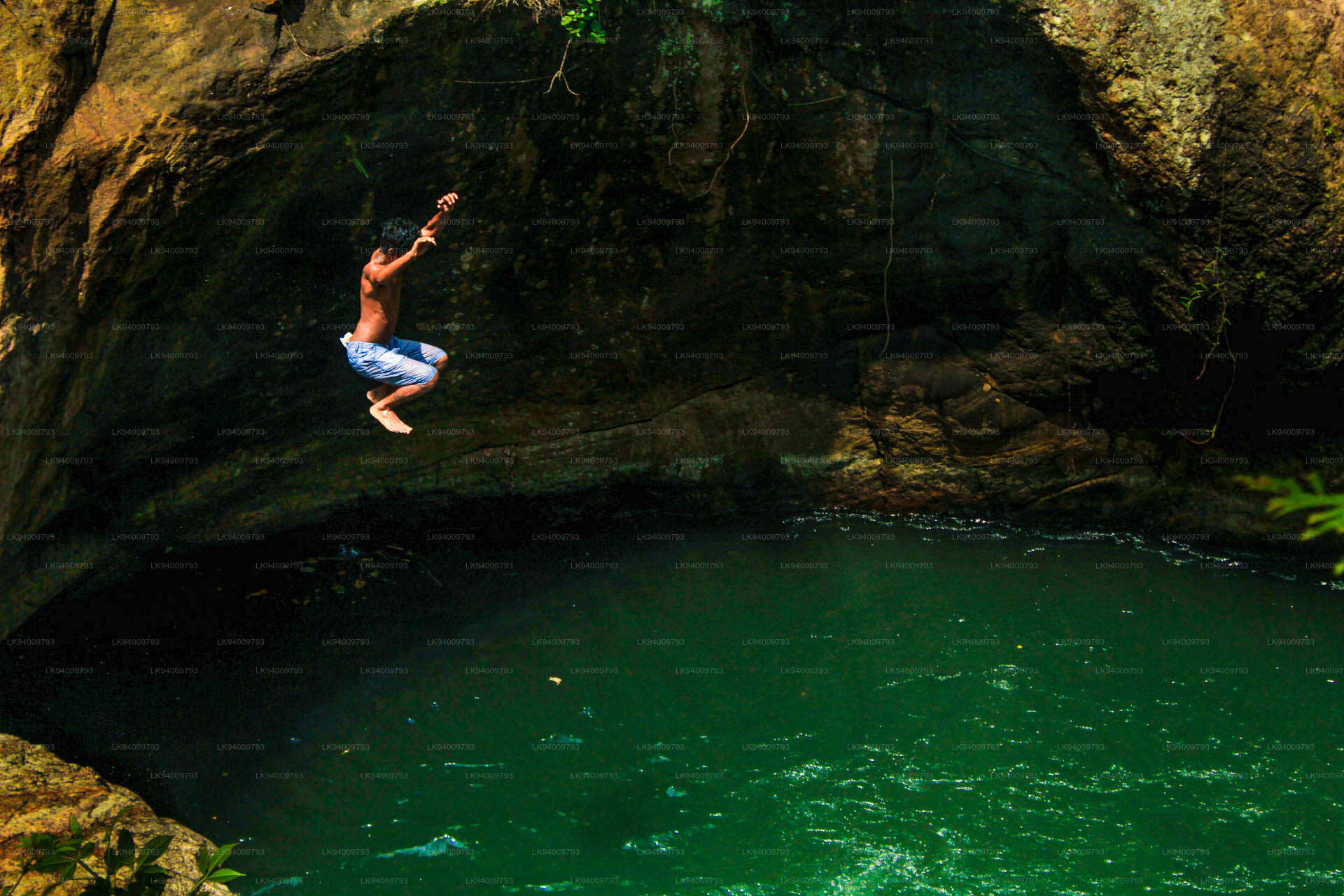
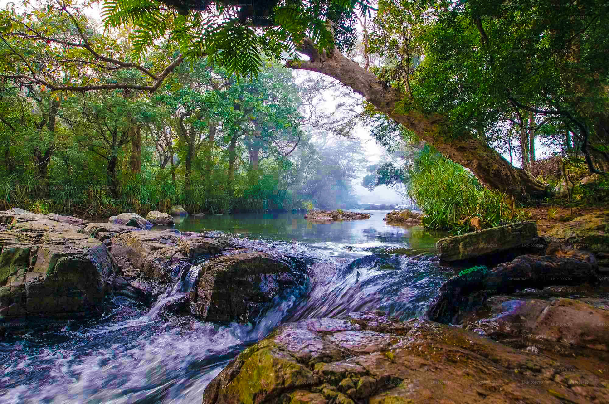
- Ravana Ella Falls also lie within these lands, fed by a stream from the eastern slope of the Knuckles.
- The network of streams that run through Meemure, originate from the Knuckles; and are home to over 25 species of freshwater fish, of which 8 are endemic and 7 nationally threatened.
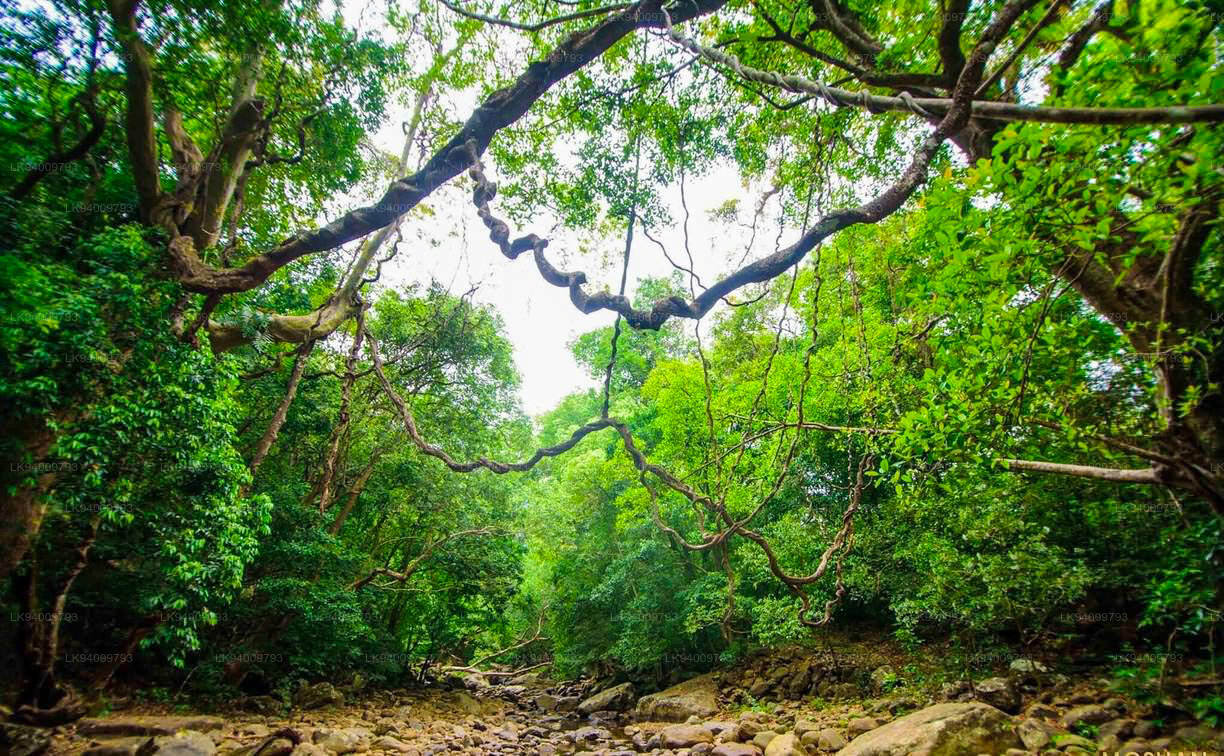
- The vegetation is typical to the Knuckles region and ranges from lowland semi-evergreen forests to Montana forests.
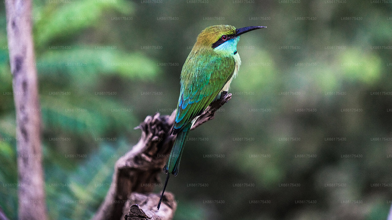
- There have been over 130 species of birds recorded in the area, with approximately 10 migrant species and 20 endangered ones.
- Out of the 20 species of Amphibians that have been seen in the wilderness, 12 are endemic and are considered nationally endangered.
Life in the Village
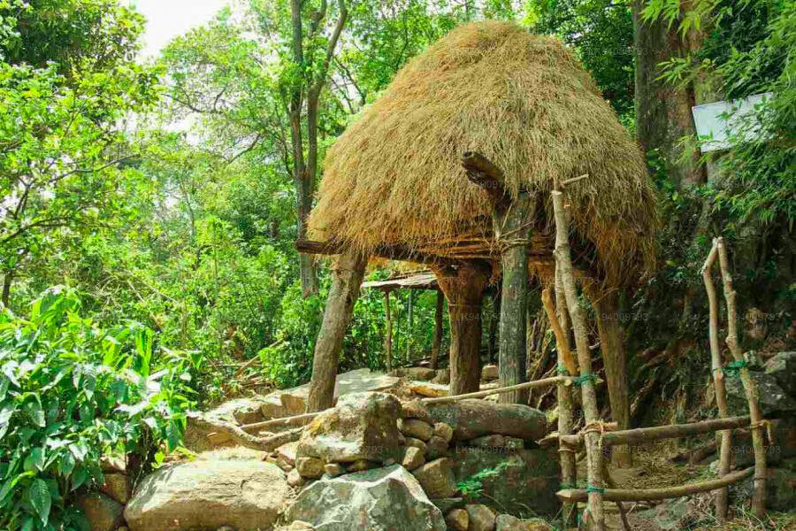
The village has a population of approximately 400 with about 125 families. The architecture is one of the main identities of Meemure. The villagers build eco-friendly homes using clay and illuk (spear grass) which lasts for over three decades. But the most unique aspect of their buildings are their boundary walls made of quartz.
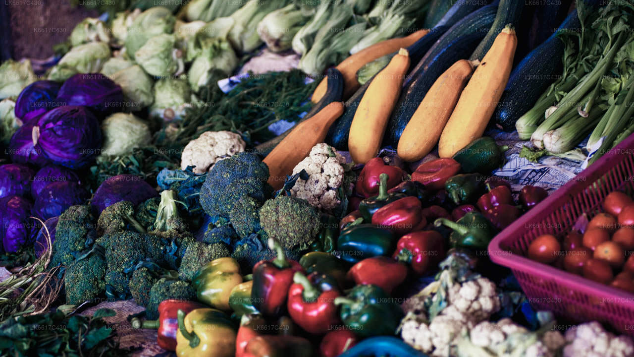
Before cardamom cultivation was banned in 1982 due to the Forest Preservation Act, Meemure villagers earned their bread by harvesting the spice. After this they shifted to chena cultivation, paddy cultivation and pepper cultivation.
Nowadays some of the peasants earn their living by taking care of jaggery palms, which produce toddy and treacle. The village has one tiny village shop where the locals buy necessities such as salt and sugar; and no cable telephone or mobile network signal. The village does have CDMA telephone services, though, to some extent.
The villagers don’t have direct mail delivery to the village, either; and have to journey to Thapal Junction each day to exchange incoming and outgoing post with the postman.
Nearby Attractions
- Lakegala: Lakegala is a mysterious looking pyramid mountain that is 1314m tall. The mountain bears many unmarked ruins, including caves with evidence of ancient human inhabitation. Some of the other attraction in the Lakegala region are Nawathna Waterfall, Ravana Falls and hiking trails in the deeps of Lakegala.
- The village of Gala Muduna: This remote village lies south of Meemure and has just 20 families. Mostly untainted by the outside world; Gala Maduna has only a single junior school. As such, the villagers only learn up till they are 14 years old. The place is so remote that when people get sick they are taken to the hospital in a sling made of a sack tied to two sticks; and there is no telephone service at all. The trail to the village is rich with flora and fauna of the Knuckles ecosystem. The village itself gains its name,Gala Muduna, due to its being situated on a top of a large rock.
- Heen Ganga: There are three major rivers that originate from the Knuckles and pass through the region; Heen Ganga, Hulu Ganga and Kalu Ganga. Heen ganga, in specific, begins from eastern slopes of the Knuckles range; flows approximately 36km through Corbett gap and Kalupahana; an finally joins the Mahaweli, the longest river of Sri Lanka. Ancient forests and diverse rocky plates line its banks. However, the Match Box Bridge. Here lies a veritable paradise of tinkling water falls, caves, and vibrant nature. This part of the river is also home to Bulath Happaya, an endemic species of fish. The only home within this stretch of land belongs to an elderly man called Heen Banda. He is often happy to have vistors, and will share his experiences and life story.