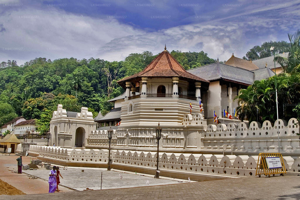
The Last Kingdom Of Ceylon Kandy
The Kingdom of Kandy was a monarchy on the island of Sri Lanka, located in the central and eastern portion of the island. It was founded in the late 15th century and endured until the early 19th century.
Initially a client kingdom of the Kingdom of Kotte, Kandy gradually established itself as an independent force during the tumultuous 16th and 17th centuries, allying at various times with the Jaffna Kingdom, the Madurai Nayak dynasty of South India, Sitawaka Kingdom, and the Dutch colonizers to ensure its survival.
From the 1590s, it was the sole independent native polity on the island of Sri Lanka and through a combination of hit-and-run tactics and diplomacy kept European colonial forces at bay, before finally falling under British colonial rule in 1818.
The kingdom was absorbed into the British Empire as a protectorate following the Kandyan Convention of 1815, and definitively lost its autonomy following the Uva Rebellion of 1817.
Over the years, the Kingdom of Kandy has been known by many names.
- Kanda Uda Pasrata
- The Senkadagala Kingdom
- The Kanda Udarata
- The Mahanuwara Kingdom
- Sri Wardhanapura
- Sinhalé
- Thun Sinhalaya or Tri Sinhala
- Kande Nuwara
- The Kingdom of Kandy
Much of the Kandy Kingdom's territory was located in Sri Lanka's mountainous and thickly forested interior, with mountain passes to the capital providing plenty of opportunities for defenders to stage ambushes. Routes to the city were kept secret, and spreading information concerning them could often result in death. Many routes into the hill country became impassable during the annual monsoon, and malaria was rife. Throughout its existence Kandyan forces used the land to their advantage, engaging in guerrilla warfare against invading forces,[8] and evacuating major urban centres when enemy forces drew near – a tactic used with particular effect during the Kandyan Wars. Though the kingdom had intermittent access to the port of Batticaloa it had no naval forces and could not prevent the Portuguese and Dutch maintaining a strong presence in lowland areas.
The city of Senkadagalapura may have been founded as early as the mid-14th century during the reign of Vikramabahu III of Gampola (1357–1374). Central Sri Lanka was ruled by the kings of Kotte from the early 15th to late 16th centuries; with Kotte's weakening in the face of Portuguese influence the area developed into an autonomous domain with Senkadagalapura at its capital. Following the Spoiling of Vijayabahu in 1521, and the subsequent partition of the kingdom of Kotte, Kandy asserted its independence and emerged as a serious rival to the eastern and southern kingdoms.