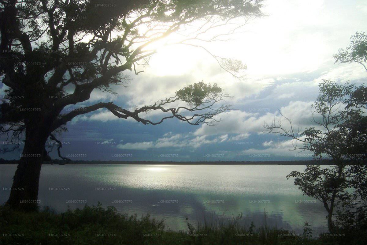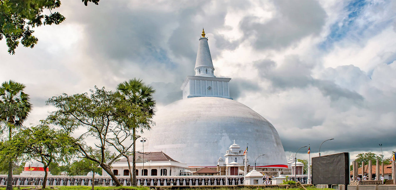
Tissa Wewa (තිස්ස වැව)
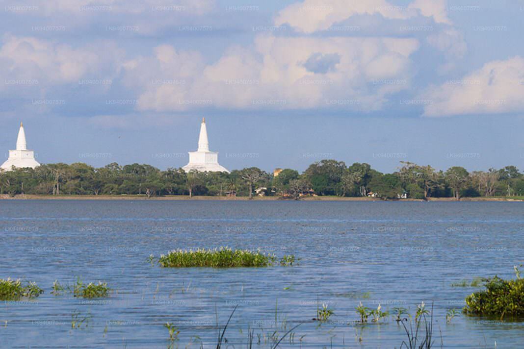

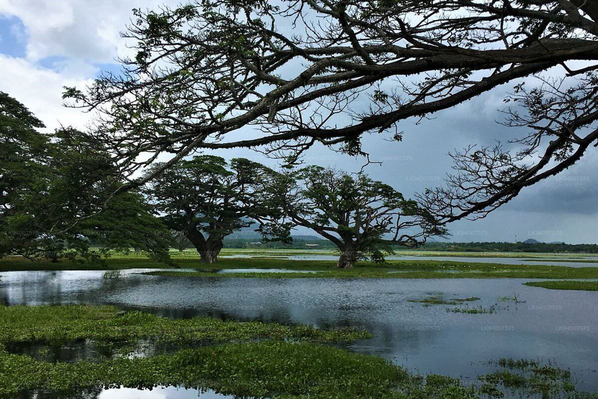
Tissa wewa (also known as Tissa Wewa, Tissamaharama Lake, Tissa Wapi) is yet another destination for tourists to gain relaxation and knowledge for both physical and mental. It is a symbol of Ancient Irrigation systems of Sri lanka. And also it is one of the men made reservoirs in Anuradhapura other than Basawakkulama (Abhayagiri wewa) and Nuwara wewa. Only Abhaya wewa and Panda wewa is regarded as older than this. It is built by King Devanam Piyathissa (150-210 B.C), the predecessor of establishing Buddhism in Sri Lankan Civilization in the 3rd century. The bunt is about 11000 feet in distance and 25 feet in depth.Tisa wewa covers an area about 550 acres. Mahawansa reveals that the great King Dutugemunu went to Tissa wewa to make the rituals and observed traditions bounded with water before getting accession to the throne after defeating brutal Dravidian King Elara. The lake is located in the south west of the Anuradhapura city.
This Large irrigation system was fallen into obsolescence. But it was repaired several times even by the British government. As prescribed in H.Parker's reports, he says that the bunt has been built thickly in its original state and It may not need a maintaining. As a matter of fact, The Tissa Wewa still serves the Anuradhapura area. By the way, the Ancient Bisokotuwa made of stones was embedded with concrete. Tissa wewa was nourished with the water gained from Kala wewa. The water was supplied through the Canal, Yodha Ela. Yodha Ela is also a great creation of our ancient architectures. The architects knew that the speed of water in canals may decrease if it is moved into a zigzag shaped canal.
Thereby they used this theory to supply water for low land areas. The canals were capable of covering whole the Dry zone areas in Anuradhapura. They considered of a research to elect a suitable place to built Tissa wewa by King Devanam piya tissa. It was done under several objectives. Congruent Geographical features to imbibe water from the earth, collect and secure water from natural water resources, easier to build the dam of the tank and adjustability to face earthquakes or inundation were thoroughly considered. Thus ancient rural life style of Sri Lankans was deeply attached with watery civilization. Kings paid their utmost attention to maintain and develop the tanks, lakes and water reservoirs. They never let the people waste a single drop of water.