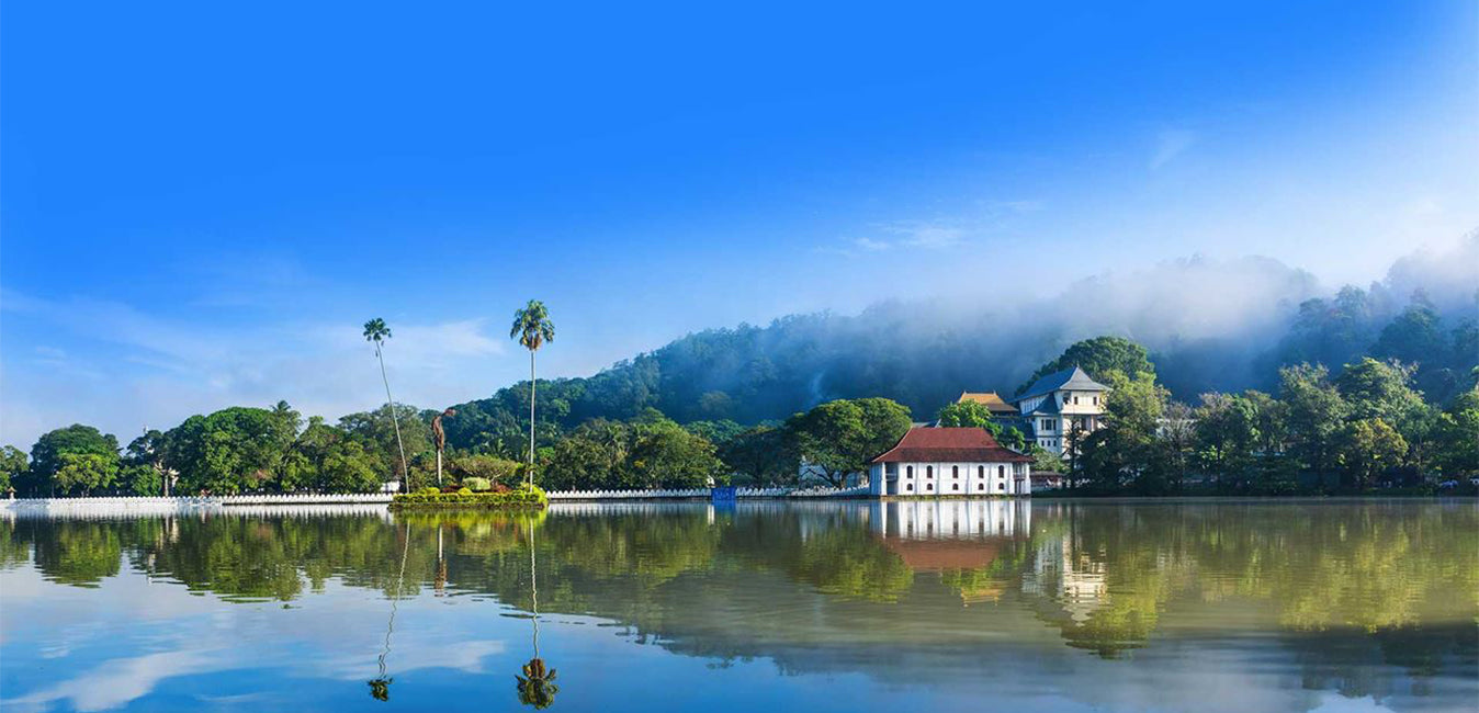
캔디 시티
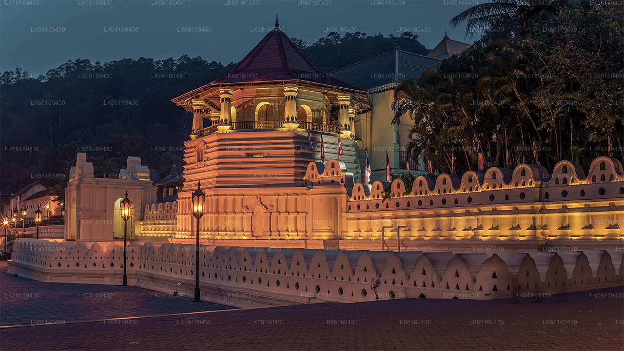
스리랑카 중부의 그림 같은 도시 캔디는 풍부한 문화 유산, 활기찬 축제, 그리고 아름다운 자연 경관으로 유명합니다. 울창한 언덕에 자리 잡은 캔디는 유네스코 세계문화유산으로 지정된 불치사(Temple of the Tooth Relic)가 있는 곳으로, 역사와 아름다운 자연이 어우러진 매혹적인 도시입니다.
The Last Kingdom Of Ceylon Kandy
The Kingdom of Kandy was a monarchy on the island of Sri Lanka, located in the central and eastern portion of the island. It was founded in the late 15th century and endured until the early 19th century.
Initially a client kingdom of the Kingdom of Kotte, Kandy gradually established itself as an independent force during the tumultuous 16th and 17th centuries, allying at various times with the Jaffna Kingdom, the Madurai Nayak dynasty of South India, Sitawaka Kingdom, and the Dutch colonizers to ensure its survival.
From the 1590s, it was the sole independent native polity on the island of Sri Lanka and through a combination of hit-and-run tactics and diplomacy kept European colonial forces at bay, before finally falling under British colonial rule in 1818.
The kingdom was absorbed into the British Empire as a protectorate following the Kandyan Convention of 1815, and definitively lost its autonomy following the Uva Rebellion of 1817.
Over the years, the Kingdom of Kandy has been known by many names.
- Kanda Uda Pasrata
- The Senkadagala Kingdom
- The Kanda Udarata
- The Mahanuwara Kingdom
- Sri Wardhanapura
- Sinhalé
- Thun Sinhalaya or Tri Sinhala
- Kande Nuwara
- The Kingdom of Kandy
Much of the Kandy Kingdom's territory was located in Sri Lanka's mountainous and thickly forested interior, with mountain passes to the capital providing plenty of opportunities for defenders to stage ambushes. Routes to the city were kept secret, and spreading information concerning them could often result in death. Many routes into the hill country became impassable during the annual monsoon, and malaria was rife. Throughout its existence Kandyan forces used the land to their advantage, engaging in guerrilla warfare against invading forces,[8] and evacuating major urban centres when enemy forces drew near – a tactic used with particular effect during the Kandyan Wars. Though the kingdom had intermittent access to the port of Batticaloa it had no naval forces and could not prevent the Portuguese and Dutch maintaining a strong presence in lowland areas.
The city of Senkadagalapura may have been founded as early as the mid-14th century during the reign of Vikramabahu III of Gampola (1357–1374). Central Sri Lanka was ruled by the kings of Kotte from the early 15th to late 16th centuries; with Kotte's weakening in the face of Portuguese influence the area developed into an autonomous domain with Senkadagalapura at its capital. Following the Spoiling of Vijayabahu in 1521, and the subsequent partition of the kingdom of Kotte, Kandy asserted its independence and emerged as a serious rival to the eastern and southern kingdoms.
캔디 지구 소개
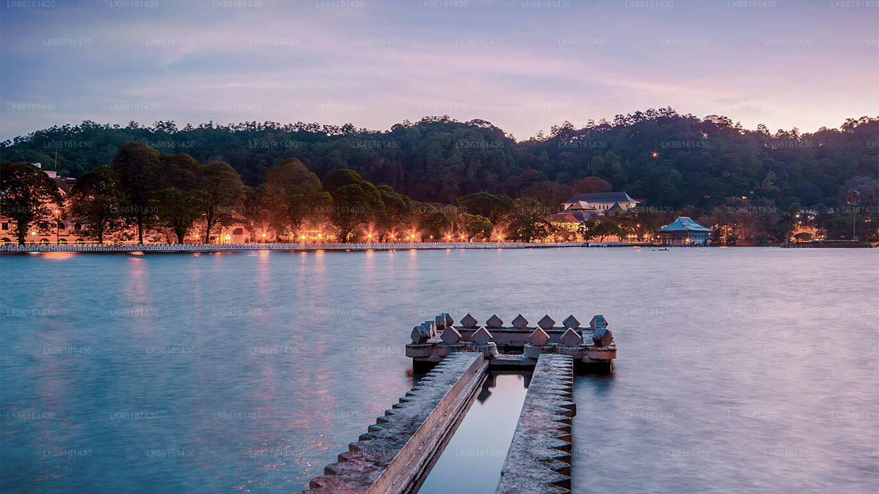
캔디 지구는 스리랑카 중부 지방에 위치하고 있습니다.스리랑카의 7개 세계문화유산 중 하나인 캔디는 16세기에 옛날 캔디 왕조의 왕들이 살았던 곳이자 나라의 모든 음악, 예술, 공예, 문화의 원천이었습니다.콜롬보에서 약 129km 떨어진 캔디는 구릉 지대에 자리 잡고 있으며 모든 시선은 캔디 호수가 매력적인 특징을 이루는 도시 중심부로 쏠립니다.캔디는 스리랑카에서 큰 종교적 의미를 지니고 있는데, 이 매력적인 도시에 달라다 말리가와 또는 "치아 사원"이 있고, 그 안에 부처님의 신성한 치아 유물이 잘 보관되어 있기 때문입니다.페라데니야 왕립 식물원은 페라데니야 시내 중심에서 서쪽으로 약 5km 떨어진 곳에 위치하고 있으며, 매년 120만 명이 방문합니다.섬에서 가장 큰 식물원입니다. 우다와타 켈레(우다와타 숲)는 도시 중심부, 불치사 바로 북쪽에 위치한 보호 구역입니다. 캔디는 싱할라족이 다수를 차지하는 도시이지만, 무어족과 타밀족 등 다른 민족 집단이 거주하는 지역 사회도 상당수 있습니다. 캔디는 스리랑카 경제의 중심지인 콜롬보에 이어 두 번째로 큰 도시입니다. 많은 주요 기업들이 캔디에 대규모 지사를 두고 있으며, 섬유, 가구, 정보 기술, 보석 등 다양한 산업이 이곳에 자리 잡고 있습니다. 또한, 수많은 농업 연구 센터가 캔디에 위치해 있으며, 전국의 음악, 예술, 공예, 문화의 발원지이기도 합니다. 콜롬보에서 약 129km 떨어진 캔디는 구릉 지대에 자리 잡고 있으며, 모든 사람의 시선은 캔디 호수가 있는 매력적인 도시 중심부로 쏠립니다. 캔디는 스리랑카에서 매우 중요한 종교적 의미를 지니고 있는데, 이 매력적인 도시에 달라다 말리가와(불치사)가 자리 잡고 있으며, 이곳에는 부처님의 성스러운 불치가 잘 보관되어 있기 때문입니다.
중부 지방 소개
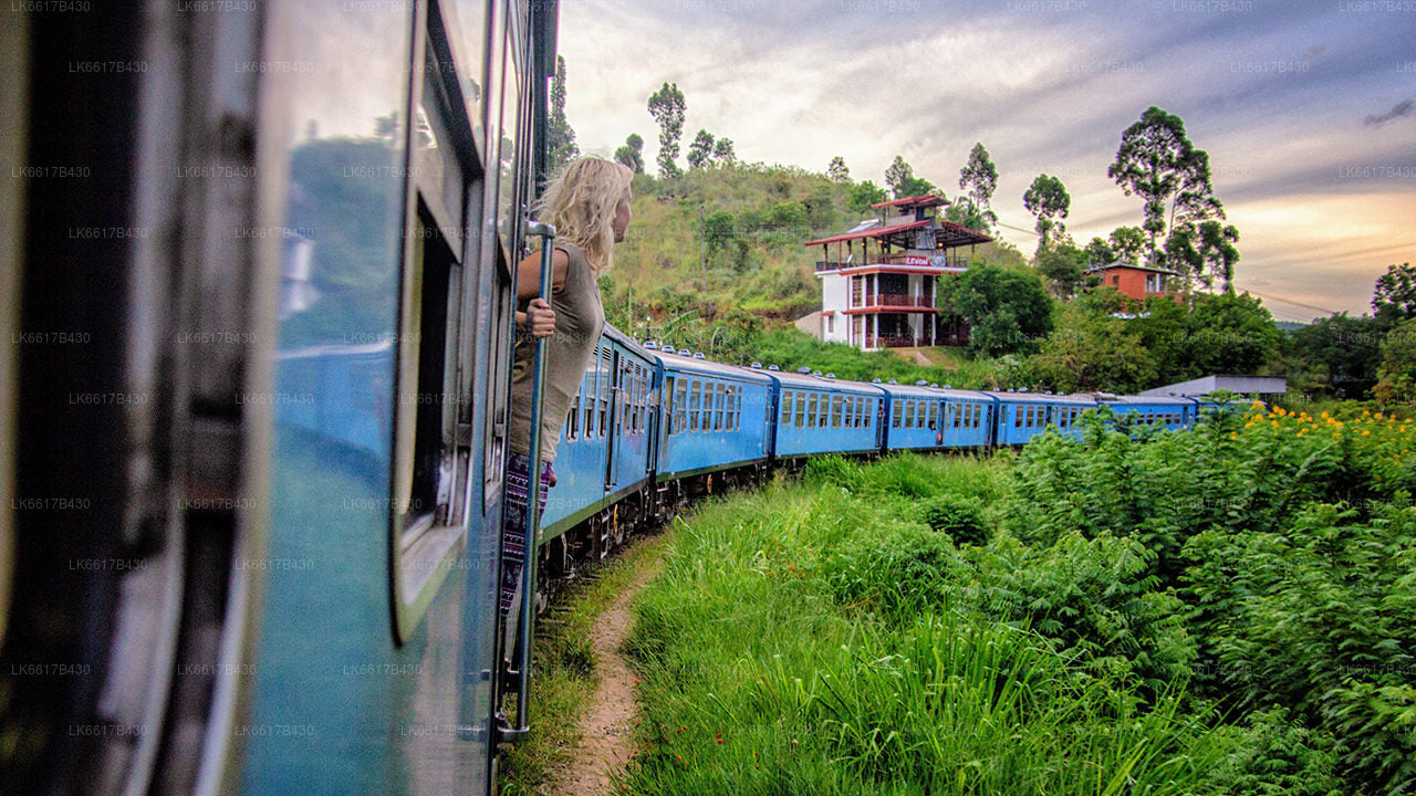
스리랑카 중부 지방은 주로 산악 지형으로 이루어져 있습니다. 이 지방의 면적은 5,674km²이고 인구는 2,421,148명입니다. 주요 도시로는 캔디, 감폴라(24,730명), 누와라 엘리야, 반다라웰라가 있습니다. 인구는 싱할라족, 타밀족, 무어족이 섞여 있습니다. 언덕 주도인 캔디와 누와라 엘리야는 모두 중부 지방과 스리 파다에 있습니다. 이 지방은 1860년대에 파괴적인 질병으로 인해 이 지방의 모든 커피 농장이 파괴된 후 영국인이 심은 유명한 실론 차를 많이 생산합니다. 중부 지방은 캔디, 감폴라, 해튼, 누와라 엘리야와 같은 언덕 역 마을이 있어 많은 관광객을 유치합니다. 템플 투스 또는 달라다 말리가와는 중부 지방의 주요 성지입니다. 기후는 시원하며, 해발 1,500m 정도의 많은 지역에서는 종종 밤에 쌀쌀합니다. 서쪽 경사면은 매우 습하며, 일부 지역에서는 연간 강수량이 거의 7,000mm에 달합니다. 동쪽 경사면은 북동 몬순의 영향으로 비가 거의 내리지 않아 중건기 지대에 속합니다. 캔디의 기온은 24°C에서 해발 1,889m에 위치한 누와라 엘리야의 기온은 16°C에 불과합니다. 스리랑카에서 가장 높은 산은 중부 지방에 있습니다. 지형은 대부분 산악 지대이며, 깊은 계곡이 지형을 가로지르고 있습니다. 두 개의 주요 산악 지역은 캔디 동쪽에 있는 중앙 산괴와 너클스 산맥입니다.

