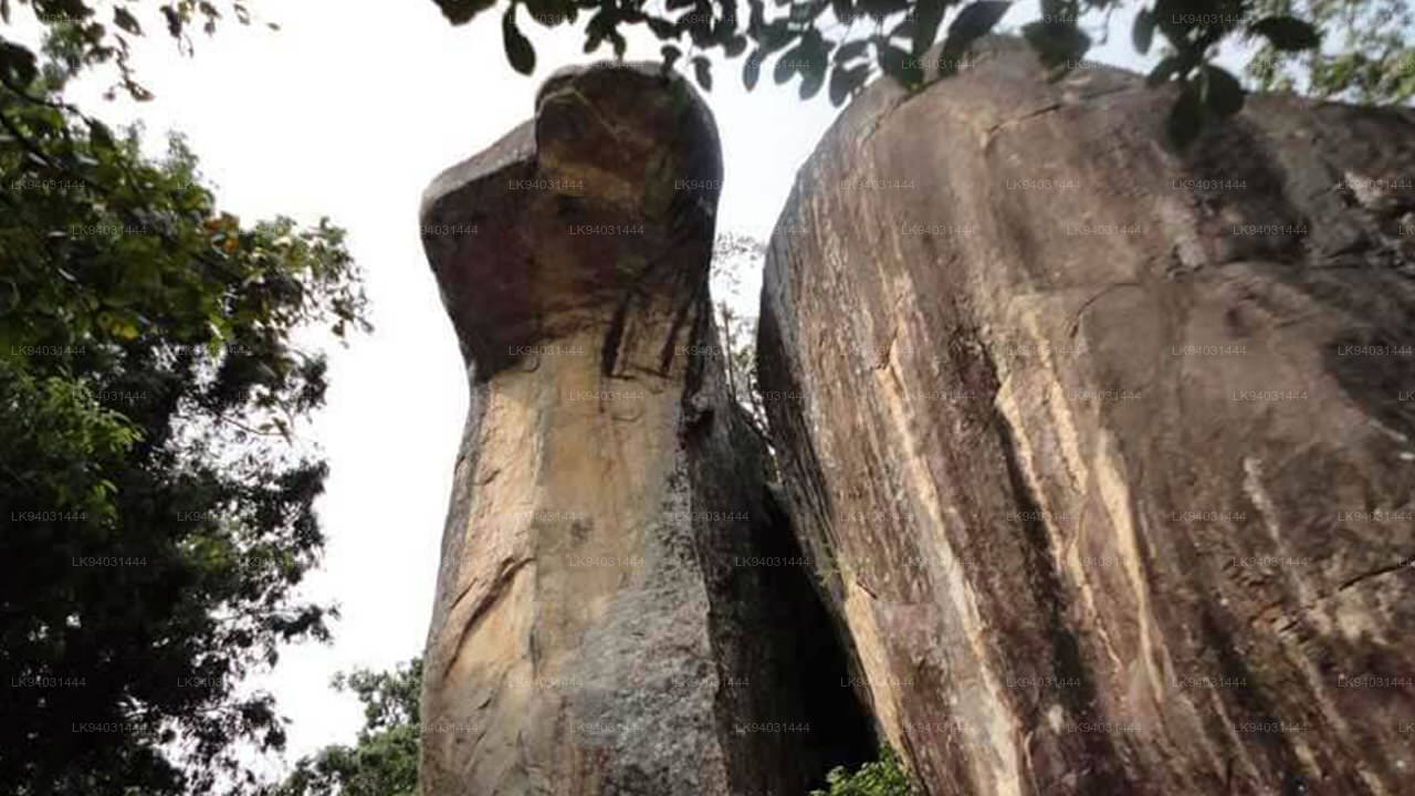
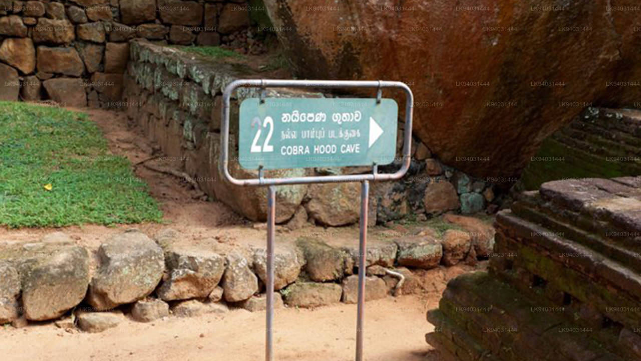
Cobra Hood Cave
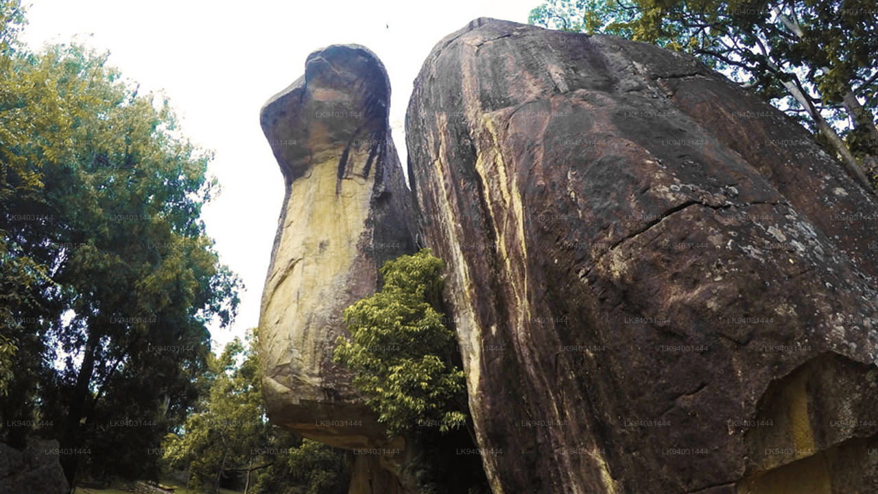
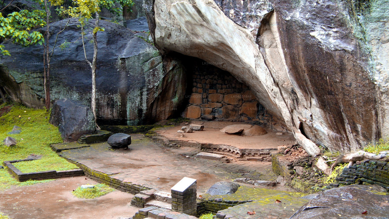
Also known as the “Parumaka Naguliya Lena”, the Cobra Hood Cave is a natural geological formation, part of the famed Sigiriya rock. It is part of the ancient Ramayana tradition, but there is not much evidence to suggest that anything actually went on here. The only clue is the inscription itself that identifies the cave as the Naguliya cave. It is a clue to Sita herself. The infant Sita was said to have been found in a field by the King of the North Indian Vedic city-state of Mithila. She was named after the ploughshare that struck her, and the word “Naguli” is very similar to the local term for the ploughshare. Her maids in Sri Lanka might have called her Naguli, an equivalent of her actual name but a fitting one considering the details of her discovery.
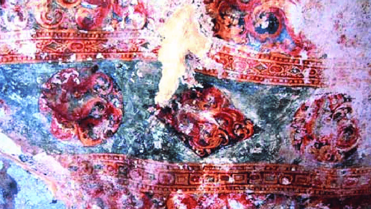
The inscription itself was done here long after the Lankapura Kingdom had vanished, at the end of the Indian Vedic Era. However as part of the history of Sigiriya it is still a major work of art, with paintings on the hooded neck of the cobra it is supposed to resemble.