Città di Ella
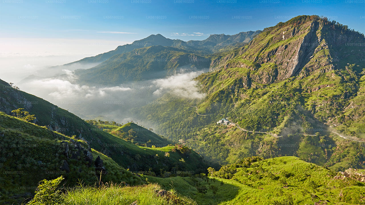
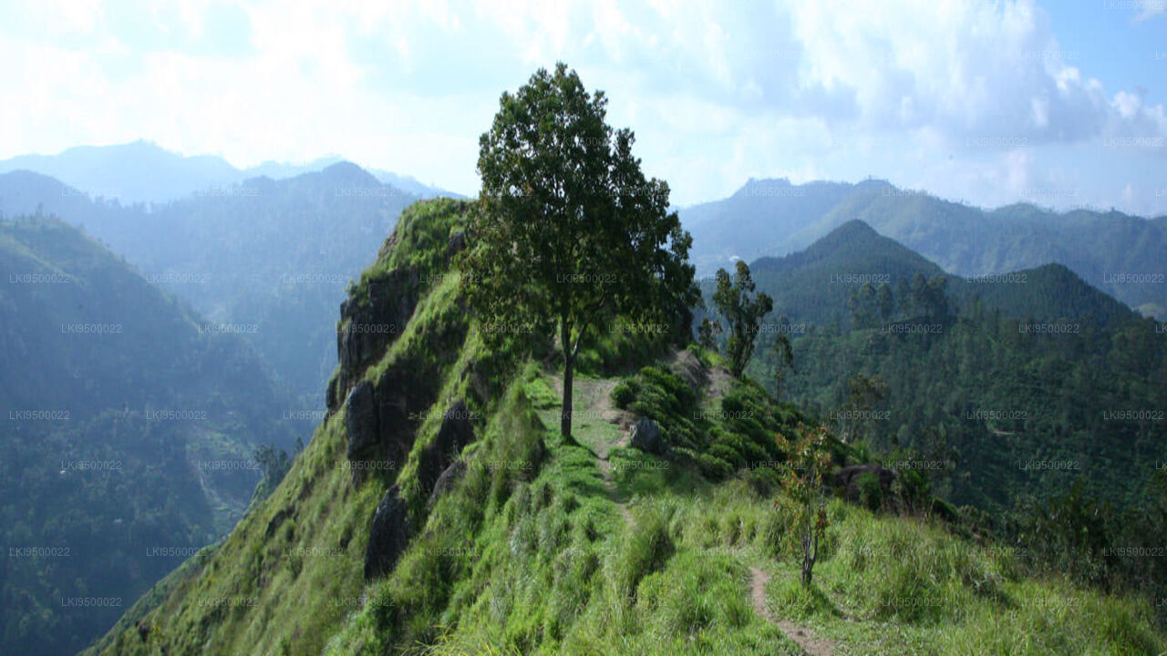
Ella è una piccola città nel distretto di Badulla, nella provincia di Uva, in Sri Lanka, governata da un Consiglio Urbano. Si trova a circa 200 chilometri a est di Colombo e si trova a un'altitudine di 1.041 metri sul livello del mare.
Kithal Ella
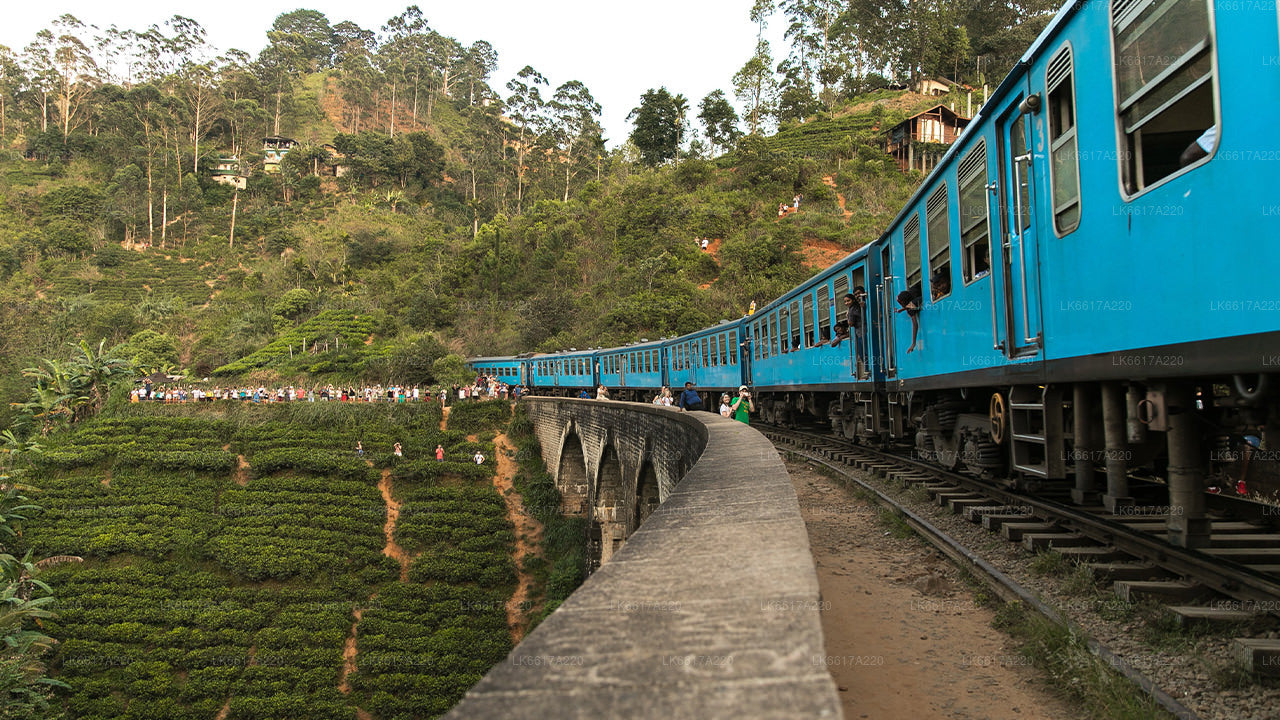
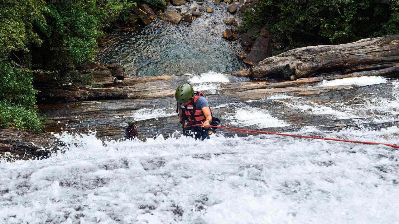
Ella, Badulla, and Bandarawela are areas rich with both well-known and lesser-known waterfalls. The most famous among them is Ravana Ella Falls, located right by the Ella – Wellawaya Road. However, many waterfalls remain hidden from view, as they are not visible from motor roads and are mostly unknown to the general public. One such hidden gem is Kithal Ella Waterfall, which, was hidden from motor roads but now gaining popularity among tourists to Ella seeking new adventures.
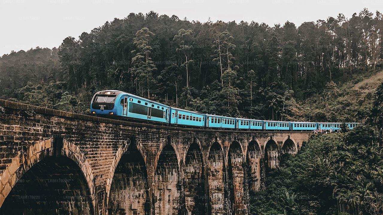
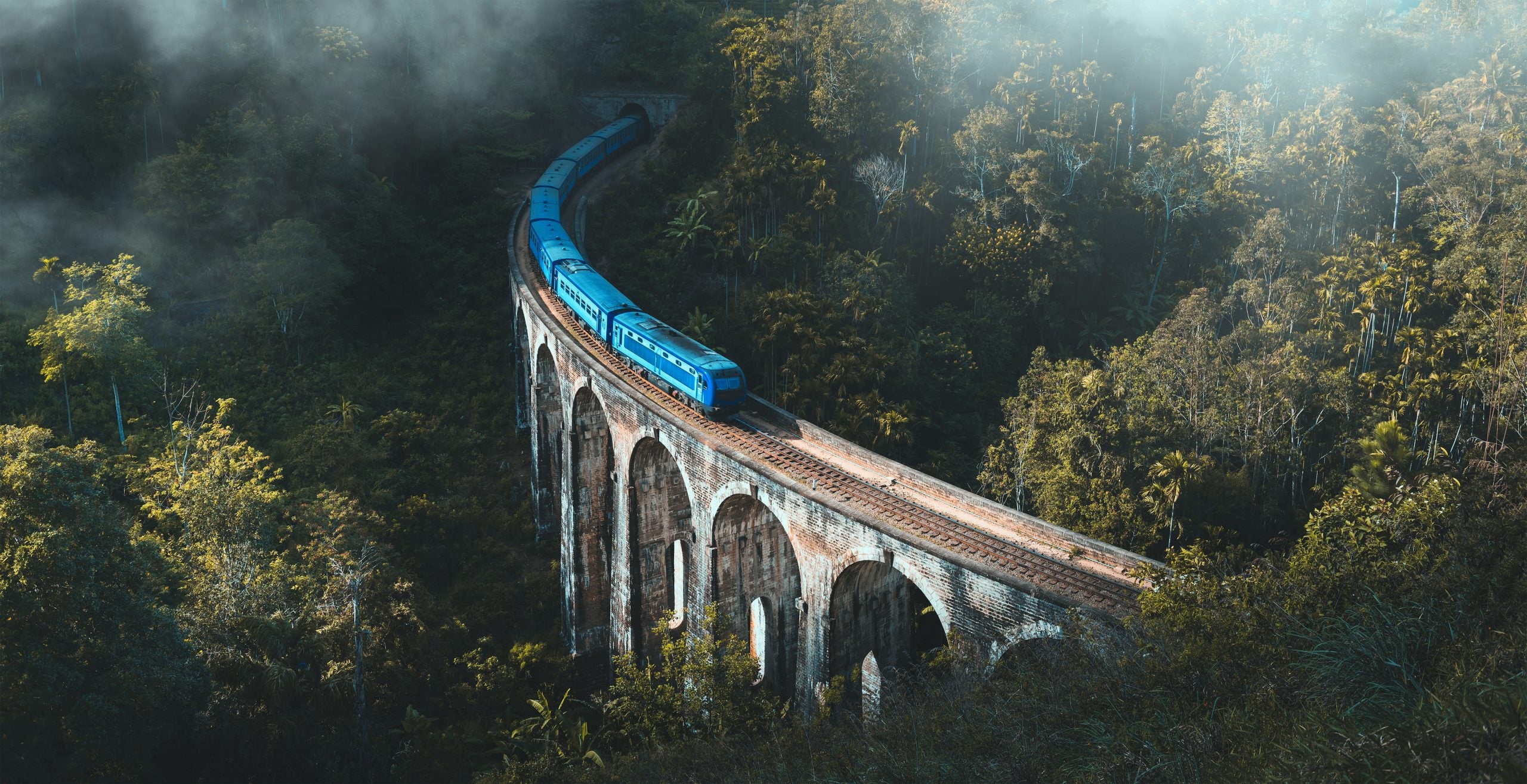
Kithal Ella Waterfall is only accessible over the railway track which travels on the famous Nine Arch Bridge. This waterfall is generally considered the real Ravana Ella Waterfall due to the close proximity of the Ravana Cave which is considered a place where Sita (in Ramayana) has been hidden by the Sri Lankan King Ravana for a while. The original name of the waterfall by the road now known as Ravana Ella is said to be “Bambaragama Ella“.
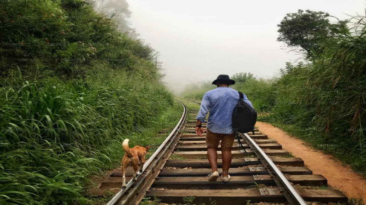
Kithal Ella is a village itself possibly named due to the waterfall. The easiest way to access the waterfall is over the railway track. Kithal Ella Railway Station lies after the Heel Oya railway station and before the Ella railway station. From the Kithal Ella Railway Station, you need to walk about 200 meters towards Ella until you reach a black-painted old rail bridge. Walking from Ella railway station it’s about 2.6 km along the rail track.
From this black bridge, you need to travel several hundred meters along footpaths to reach the top of the waterfall. There is a footbridge over the stream which creates the waterfall at the top.
Coming into Ella from Badulla-Bandarawela Road, a few hundred meters from the Ella junction and 150 meters before the tunnel from which the railroad crosses the road from above, there is a road to the right. This is called Kithal Ella Road and connects to Bandarawela. Travel along this road 1-2 km and you will see the waterfall at a distance on the left.
There is no easy way to reach the bottom of the waterfall. During the dry weather, the water in the fall dwindles to a mere drip hiding all its beauty.
Informazioni sul distretto di Badulla
Badulla è il capoluogo della provincia di Uva, nello Sri Lanka. Si trova a sud-est di Kandy, quasi completamente circondata dal fiume Badulu Oya, a circa 680 metri sul livello del mare ed è circondata da piantagioni di tè. La città è dominata dalla catena montuosa Namunukula. Badulla dista circa 230 km da Colombo, verso le pendici orientali delle colline centrali dello Sri Lanka. Badulla e i suoi dintorni sono altamente raccomandati per gli ecoturisti, poiché il Parco Nazionale di Horton Plains e i monti Knuckles sono raggiungibili in poche ore. Luoghi speciali a Badulla: il Tempio di Muthiyangana, il Tempio di Dhowa, l'antico ponte di legno di Bogoda, le cascate di Rawana.
Informazioni sulla provincia di Uva
La provincia di Uva è la seconda provincia meno popolata dello Sri Lanka, con 1.187.335 abitanti, creata nel 1896. È composta da due distretti chiamati Badulla e Moneragala. Il capoluogo di provincia è Badulla. Uva confina con le province orientale, meridionale e centrale. Le sue principali attrazioni turistiche sono le cascate di Dunhinda, le cascate di Diyaluma, le cascate di Rawana, il Parco Nazionale di Yala (che si trova in parte nelle province meridionale e orientale) e il Parco Nazionale di Gal Oya (che si trova in parte nella provincia orientale). Le colline di Gal Oya e le montagne centrali sono gli altopiani principali, mentre i fiumi Mahaweli e Menik e gli enormi bacini idrici di Senanayake Samudraya e Maduru Oya sono i principali corsi d'acqua della provincia di Uva.


