Balana
About Balana
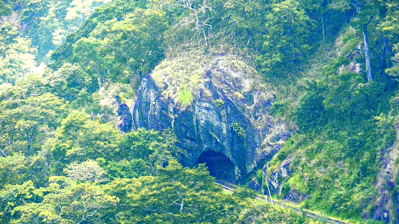
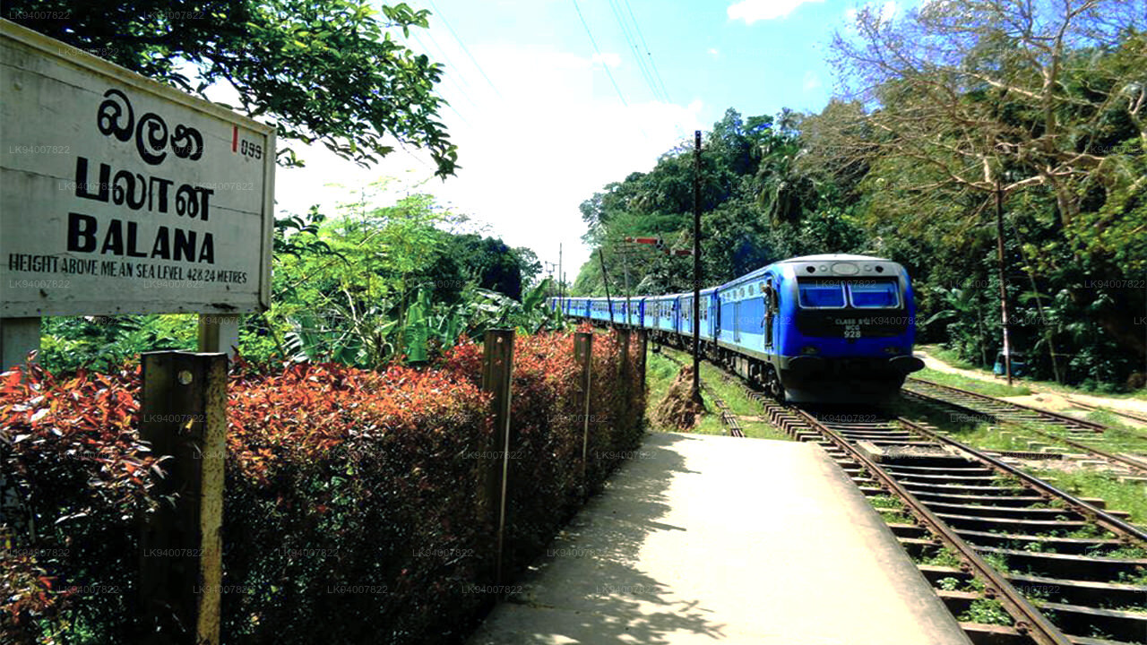
Balana is a suburb of Kandy, Sri Lanka. Balana popular as a rock fortress. It is situated near the Colombo-Kandy railway line.
Balana Fort, Alagalla mountain range are well known attraction located near Balana.
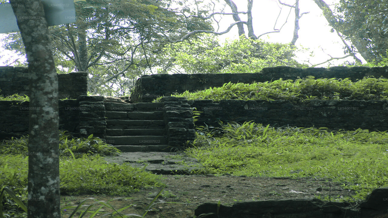
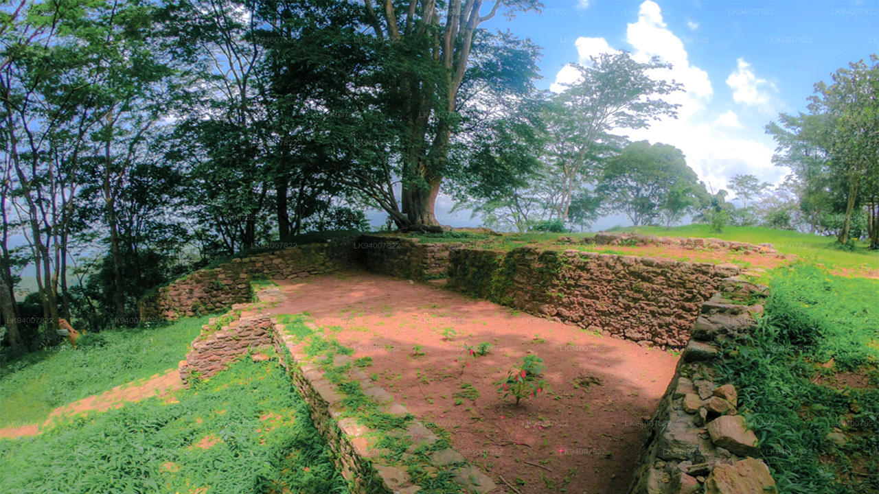
Balana Fort
Balana Fort was the main fortress established by the Kingdom of Kandy to protect the Sinhalese Kingdom from foreign powers, and is situated between Kadugannawa Pass and the Alagalla Range. Balana Fort is now a historical site managed by the Archaeological Department of Sri Lanka.[4
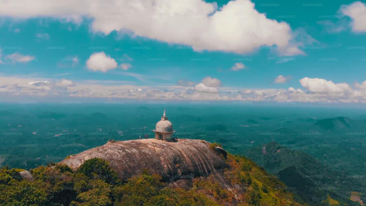
Alagalla Mountain Range
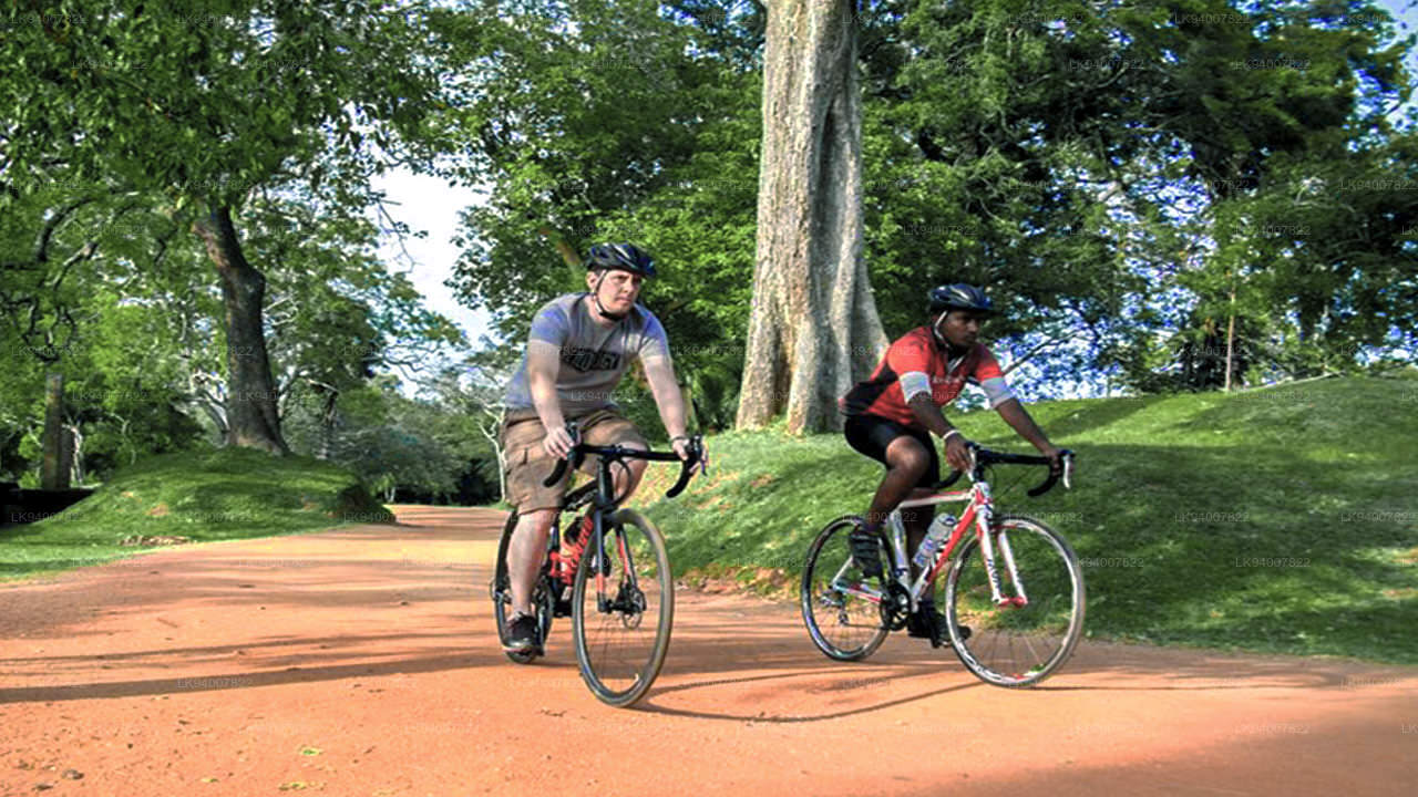
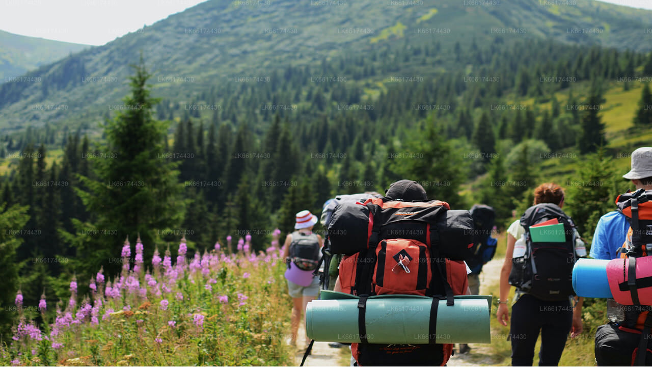
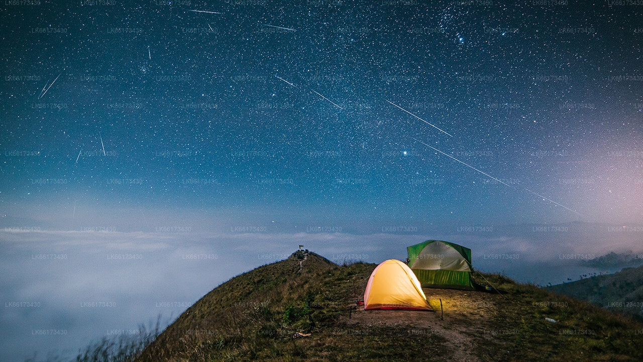
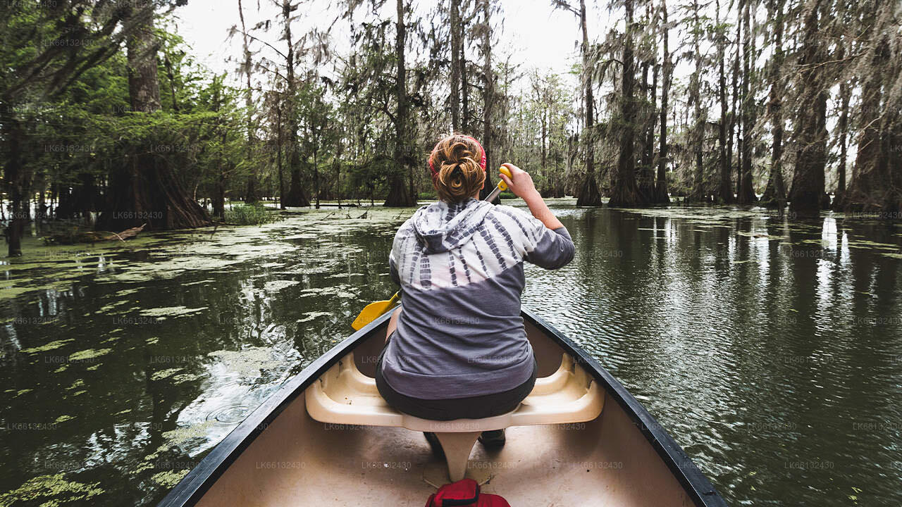
Alagalla Mountain Range is situated at the boundaries of the Central and Sabaragamuwa Provinces in Sri Lanka. Alagalla mountain has served as a natural defense location for nearly five centuries. He famous Balana Fort which functioned as a strategic rock fortress and an outpost to Kandyan kingdom was built between Kadugannawa Pass[1] and Alagalla Mountain Range. Attraction. Alagalla mountain popular as adventure hiking destination.
About Kandy District
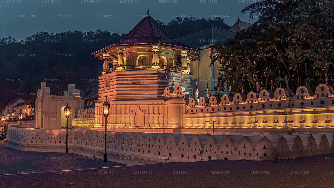
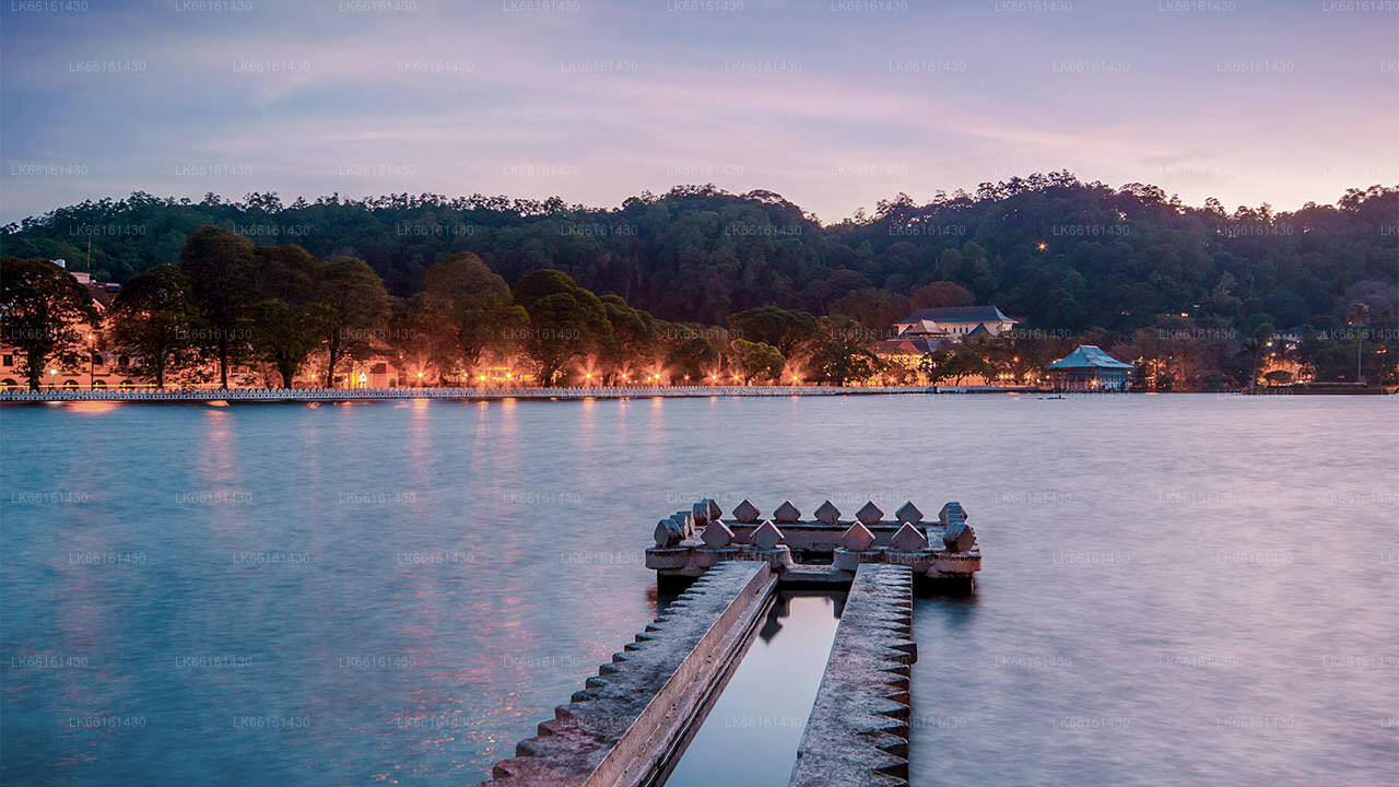
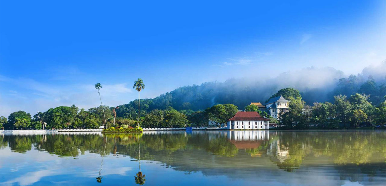
Kandy district is situated in the centrel province of Sri Lanka. One of the seven World Heritage Sites in Sri Lanka, Kandy was once home to the Kandyan Kings of yore in the 16th-century and a fountainhead for all the music, arts, crafts and culture in the country. About 129 km away from Colombo, Kandy is ensconced amongst a hilly terrain and all eyes are drawn to the centre of the city, where the Kandy Lake forms a charming feature. Kandy retains great religious significance for SriLanka, because it is in this charming city that the Dalada Maligawa or "Temple of the Tooth" is located, within which the sacred tooth relic of Lord Buddha lies well guarded.
The Royal Botanical Garden, Peradeniya is situated about 5 km to the west of the city centre at Peradeniya and is visited by 1.2 million people per year. It is the largest botanical garden on the island. The Udawatta Kele (Udawatta Forest) is a protected sanctuary situated in the heart of the city, just north of Temple of the Tooth.
Kandy is a Sinhala majority city; there are sizeable communities belonging to other ethnic groups, such as Moors and Tamils. Kandy is second only to Colombo the center of the Sri Lankan Economy. Many major co-operations have large branch officers in Kandy and many industries include textiles, furniture, Information Technology, and jewelry are found here. Many agriculture research centers are located in the city.
About Central Province
The Central Province of Sri Lanka consists primarily of mountainous terrain. The province has an area of 5,674 km², and a population of 2,421,148. Some major towns include Kandy, Gampola (24,730), Nuwara Eliya and Bandarawela. The population is a mixture of Sinhalese, Tamil and the Moors.
Both the hill capital Kandy and the city of Nuwara Eliya are located within the Central Province as well as Sri Pada. The province produces much of the famous Ceylon tea, planted by the British in the 1860s after a devastating disease killed all the coffee plantations in the province. Central Province attracts many tourists, with hill station towns such as Kandy, Gampola, Hatton and Nuwara Eliya. Temple tooth or Dalada maligawa is the main sacred place in Centrel province.
The climate is cool, and many areas about 1500 meters often have chilly nights. The western slopes are very wet, some places having almost 7000 mm of rain per year. The eastern slopes are parts of the mid-dry zone as it is receiving rain only from North-Eastern monsoon. The Temperatures range from 24°C at Kandy to just 16°C in Nuwara Eliya, which is located 1,889 m above sea level. The highest mountains in Sri Lanka are located in the Central Province. The terrain is mostly mountainous, with deep valleys cutting into it. The two main mountain regions are the central massif and the Knuckles range to the east of Kandy.