Pfauenhügel


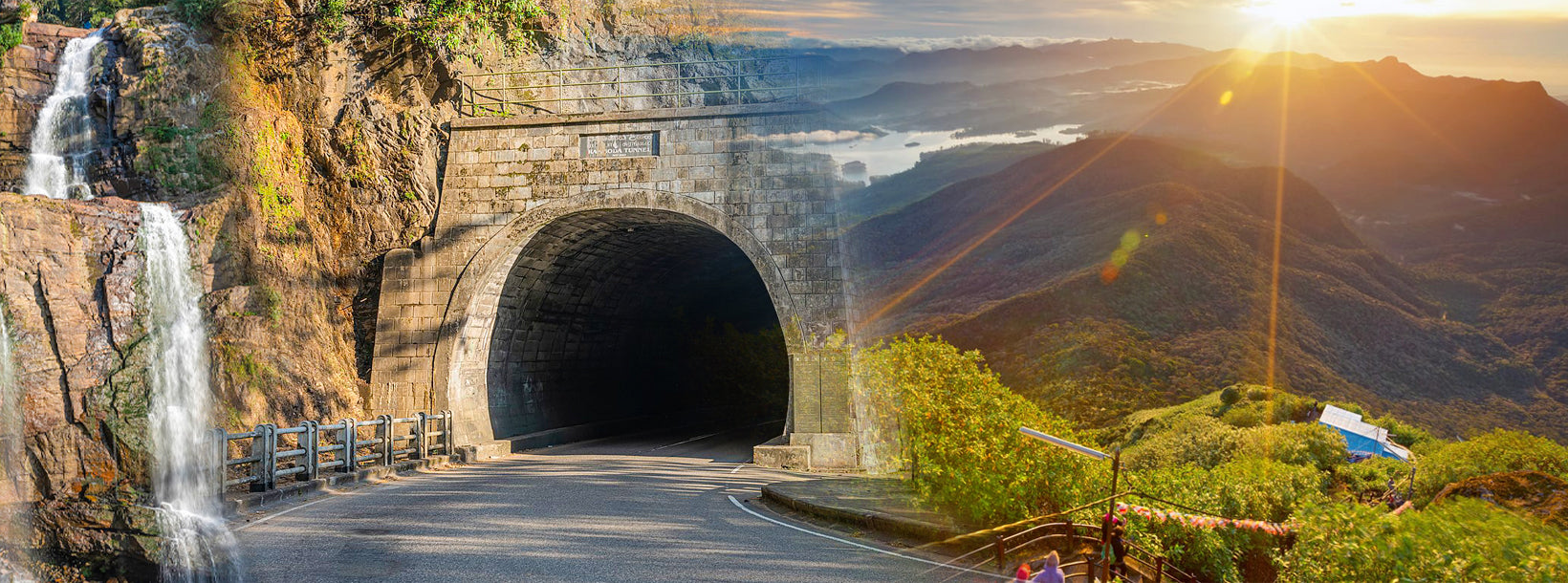
Peacock Hill ist ein Aussichtspunkt im zentralen Hochland Sri Lankas , nahe der Stadt Pussellawa im Distrikt Kandy . Auf einer Höhe von etwa 1.515 Metern (4.970 Fuß) über dem Meeresspiegel bietet er einen atemberaubenden Panoramablick auf die umliegenden Teeplantagen , nebelverhangenen Berge und fernen Täler. Der Hügel ist ein beliebtes Ausflugsziel für Naturliebhaber , Wanderer und Fotografen, die dem Trubel der Stadt entfliehen möchten.
Die Wanderung zum Peacock Hill ist relativ kurz und dauert vom Fuß des Berges in der Regel etwa 30 bis 45 Minuten. Damit ist sie für die meisten Besucher ein machbares Abenteuer . Der Weg schlängelt sich durch üppige Teeplantagen und Kiefernwälder und bietet eine ruhige und erfrischende Atmosphäre. Auf dem Gipfel angekommen, werden Besucher mit atemberaubenden Ausblicken auf den Kotmale-Stausee, den Pidurutalagala ( Sri Lankas höchsten Berg) und die umliegende Landschaft belohnt. Das kühle Klima und die frische Bergluft runden das Erlebnis zusätzlich ab.
Peacock Hill ist auch ein großartiger Ort, um Sonnenauf- und -untergänge zu beobachten. Die wechselnden Farben des Himmels bieten ein faszinierendes Schauspiel. Der Hügel ist nach den Pfauen benannt, die gelegentlich in der Gegend gesichtet werden und seinen Charme noch verstärken. Obwohl er nicht so berühmt ist wie andere Wanderziele Sri Lankas , machen ihn seine relativ unberührte Schönheit und die friedliche Atmosphäre zu einem versteckten Juwel, das es zu erkunden lohnt.


-

Spalte
Ramboda AccommodationsKombinieren Sie Text mit einem Bild, um sich auf das von Ihnen gewählte Produkt, die Kollektion oder den Blogbeitrag zu konzentrieren. Fügen Sie Details zur Verfügbarkeit und zum Stil hinzu oder geben Sie sogar eine Bewertung ab.
-

Spalte
Transfers from RambodaKombinieren Sie Text mit einem Bild, um sich auf das von Ihnen gewählte Produkt, die Kollektion oder den Blogbeitrag zu konzentrieren. Fügen Sie Details zur Verfügbarkeit und zum Stil hinzu oder geben Sie sogar eine Bewertung ab.
-
Spalte
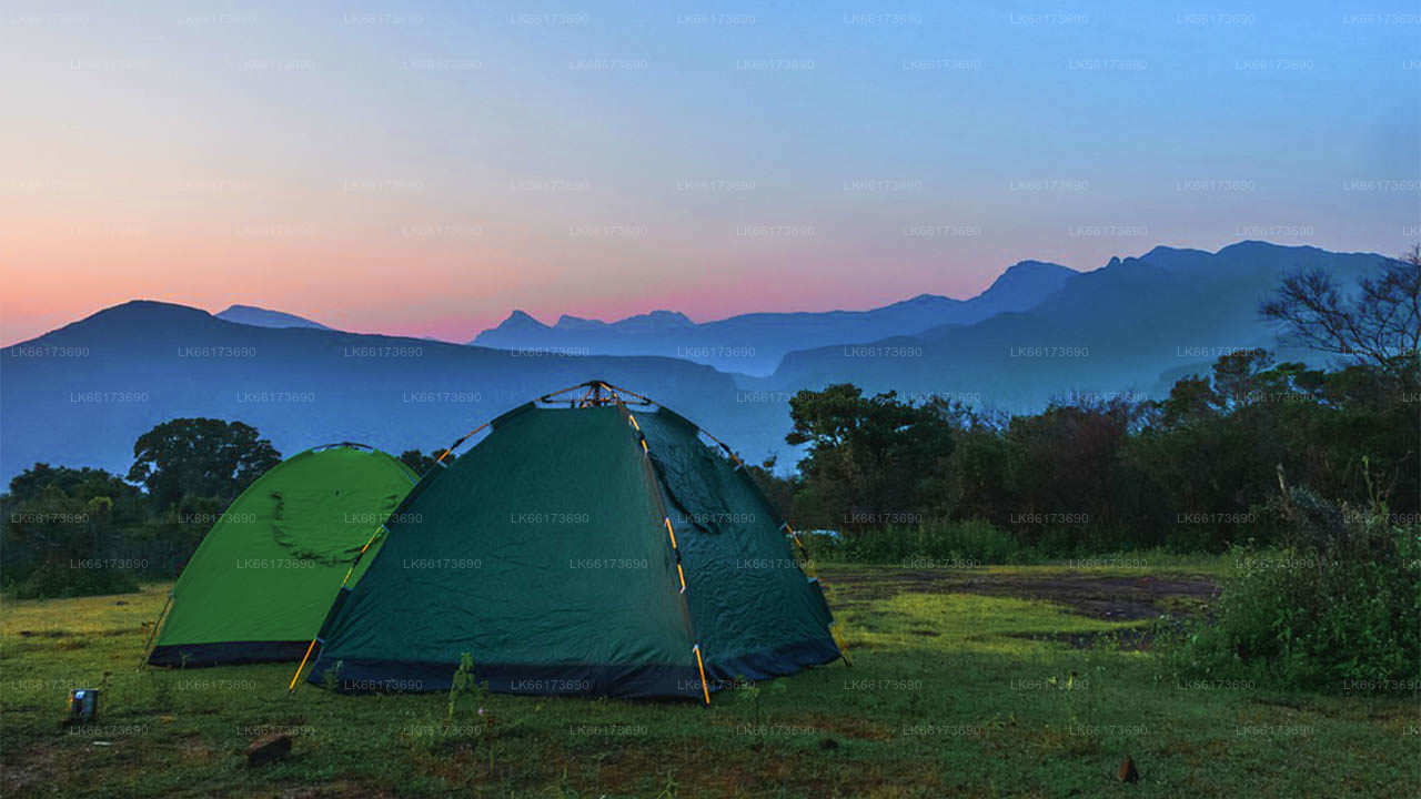
Camping from RambodaKombinieren Sie Text mit einem Bild, um sich auf das von Ihnen gewählte Produkt, die Kollektion oder den Blogbeitrag zu konzentrieren. Fügen Sie Details zur Verfügbarkeit und zum Stil hinzu oder geben Sie sogar eine Bewertung ab.


Services of Lakpura LLC
-

Spalte
ShoppingKombinieren Sie Text mit einem Bild, um sich auf das von Ihnen gewählte Produkt, die Kollektion oder den Blogbeitrag zu konzentrieren. Fügen Sie Details zur Verfügbarkeit und zum Stil hinzu oder geben Sie sogar eine Bewertung ab.
-

Spalte
TourenKombinieren Sie Text mit einem Bild, um sich auf das von Ihnen gewählte Produkt, die Kollektion oder den Blogbeitrag zu konzentrieren. Fügen Sie Details zur Verfügbarkeit und zum Stil hinzu oder geben Sie sogar eine Bewertung ab.
-

Spalte
ActivitiesKombinieren Sie Text mit einem Bild, um sich auf das von Ihnen gewählte Produkt, die Kollektion oder den Blogbeitrag zu konzentrieren. Fügen Sie Details zur Verfügbarkeit und zum Stil hinzu oder geben Sie sogar eine Bewertung ab.
-

Spalte
TransfersKombinieren Sie Text mit einem Bild, um sich auf das von Ihnen gewählte Produkt, die Kollektion oder den Blogbeitrag zu konzentrieren. Fügen Sie Details zur Verfügbarkeit und zum Stil hinzu oder geben Sie sogar eine Bewertung ab.


